Weather front
Videos
Page
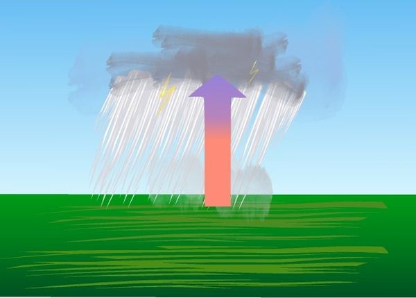
A weather front is a boundary separating air masses for which several characteristics differ, such as air density, wind, temperature, and humidity. Disturbed and unstable weather due to these differences often arises along the boundary. For instance, cold fronts can bring bands of thunderstorms and cumulonimbus precipitation or be preceded by squall lines, while warm fronts are usually preceded by stratiform precipitation and fog. In summer, subtler humidity gradients known as dry lines can trigger severe weather. Some fronts produce no precipitation and little cloudiness, although there is invariably a wind shift.
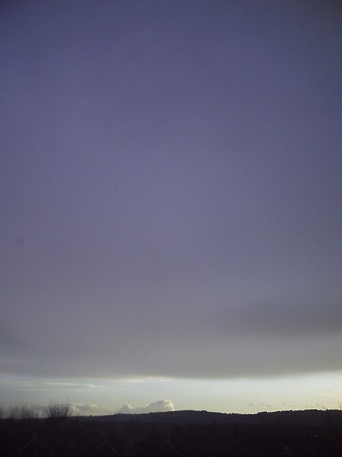
Approaching weather fronts are often visible from the ground, but are not always as well defined as this.

A shelf cloud such as this one can be a sign that a squall is imminent
Convective precipitation
Wind
Videos
Page
Wind is the natural movement of air or other gases relative to a planet's surface. Winds occur on a range of scales, from thunderstorm flows lasting tens of minutes, to local breezes generated by heating of land surfaces and lasting a few hours, to global winds resulting from the difference in absorption of solar energy between the climate zones on Earth. The two main causes of large-scale atmospheric circulation are the differential heating between the equator and the poles, and the rotation of the planet. Within the tropics and subtropics, thermal low circulations over terrain and high plateaus can drive monsoon circulations. In coastal areas the sea breeze/land breeze cycle can define local winds; in areas that have variable terrain, mountain and valley breezes can prevail.

Cup-type anemometer on a remote meteorological station

An occluded mesocyclone tornado (Oklahoma, May 1999)

Winds are part of Earth's atmospheric circulation

RAF Exeter airfield on 20 May 1944, showing the layout of the runways that allow aircraft to take off and land into the wind