West Northamptonshire is a unitary authority area covering part of the ceremonial county of Northamptonshire, England, created in 2021. By far the largest settlement in West Northamptonshire is the county town of Northampton. Its other significant towns are Daventry, Brackley and Towcester; the rest of the area is predominantly agricultural villages though it has many lakes and small woodlands and is passed through by the West Coast Main Line and the M1 and M40 motorways. The district includes the site of the Roman town of Bannaventa, and the grade I listed Althorp House and its estate.
West Northamptonshire
Image: All Saints Church (geograph 7247736)
Image: Daventry, High Street and Market Square and market cross (resize) geograph.org.uk 1729537
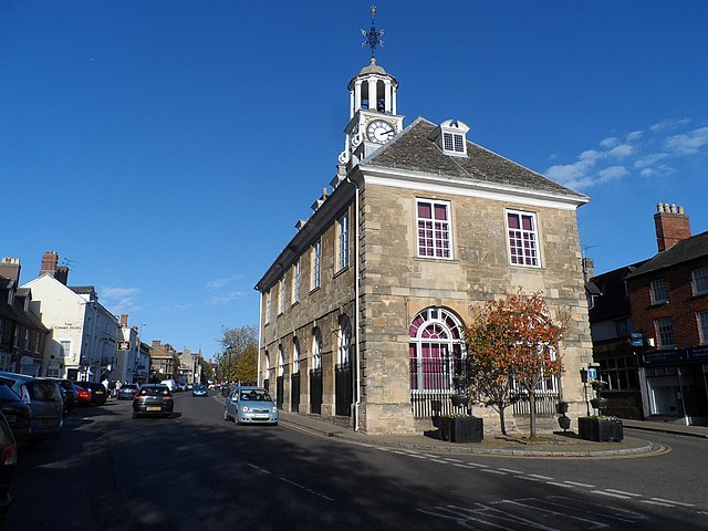
Image: Brackley Town Hall (geograph 4247452)
Northamptonshire is a ceremonial county in the East Midlands of England. It is bordered by Leicestershire, Rutland and Lincolnshire to the north, Cambridgeshire to the east, Bedfordshire, Buckinghamshire, Oxfordshire to the south and Warwickshire to the west. Northampton is the largest settlement and the county town.
Image: Kirby Hall (9972807555)
Image: Northampton, town centre geograph.org.uk 4126914
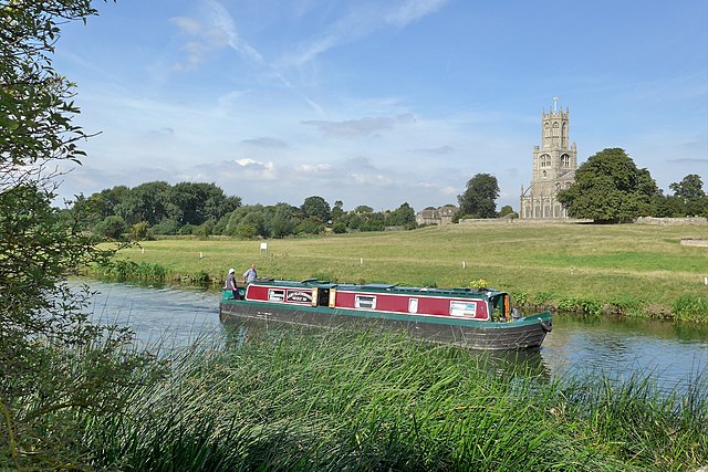
Image: Fotheringhay Northamptonshire. Narrow boat on River Nene panoramio
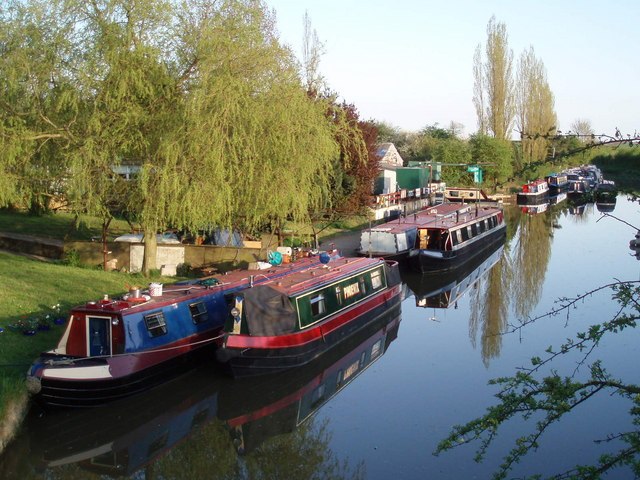
Kilworth Wharf on the Grand Union Canal