Willamette National Forest
Videos
Page
The Willamette National Forest is a National Forest located in the central portion of the Cascade Range of the U.S. state of Oregon.
It comprises 1,678,031 acres (6,790.75 km2). Over 380,000 acres are designated wilderness which include seven major mountain peaks. There are also several National Wild and Scenic Rivers within the forest. The forest is named for the Willamette River, which has its headwaters in the forest. The forest's headquarters are located in the city of Springfield. There are local ranger district offices in McKenzie Bridge, Detroit, Sweet Home, and Westfir.

The Breitenbush River in Willamette National Forest
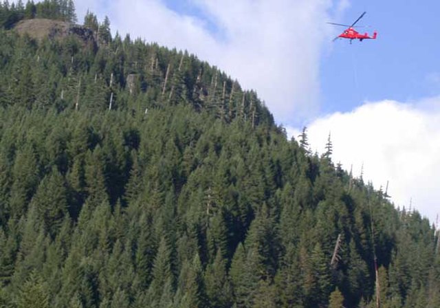
Helicopter carrying timber along the Breitenbush River in the Willamette National Forest
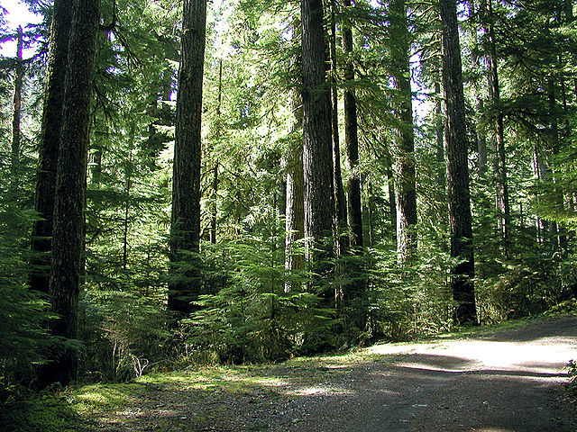
Old-growth forest in the Opal Creek Wilderness

Lane Transit District bus passes the McKenzie River Ranger Station sign
Mount Jefferson (Oregon)
Videos
Page
Mount Jefferson is a stratovolcano in the Cascade Volcanic Arc, part of the Cascade Range in the U.S. state of Oregon. The second highest mountain in Oregon, it is situated within Linn County, Jefferson County, and Marion County and forms part of the Mount Jefferson Wilderness. Due to the ruggedness of its surroundings, the mountain is one of the hardest volcanoes to reach in the Cascades. It is also a popular tourist destination despite its remoteness, with recreational activities including hiking, backpacking, mountaineering, and photography. Vegetation at Mount Jefferson is dominated by Douglas fir, silver fir, mountain hemlock, ponderosa pine, lodgepole pine, and several cedar species. Carnivores, insectivores, bats, rodents, deer, birds, and various other species inhabit the area.
Mount Jefferson from the north side of Three Fingered Jack
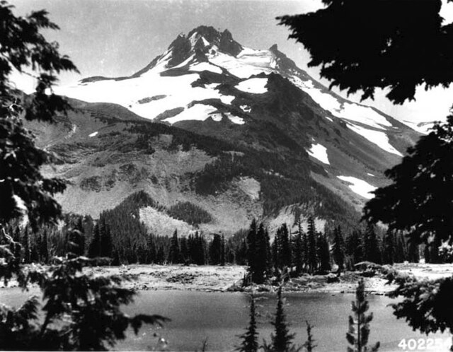
A view of Mount Jefferson from Russell Lake in 1934

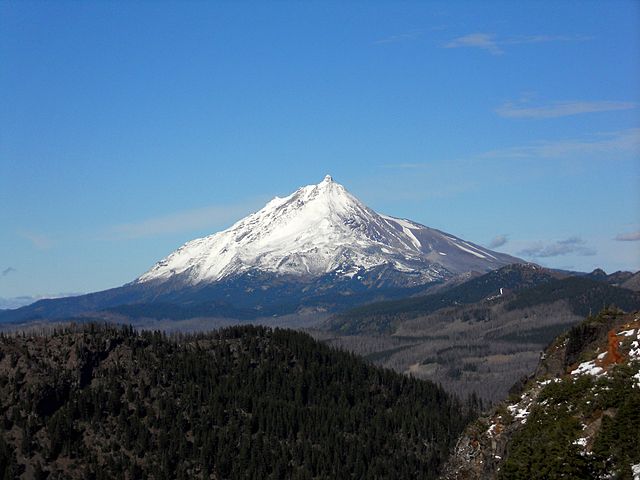
A coniferous forest near Mount Jefferson (Jefferson visible in the background)

Mount Jefferson