Yakima River
Videos
Page
The Yakima River is a tributary of the Columbia River in south central and eastern Washington state, named for the indigenous Yakama people. Lewis and Clark mention in their journals that the Chin-nâm pam called the river Tâpe têtt, possibly from the French tape-tête, meaning "head hit". The length of the river from headwaters to mouth is 214 miles (344 km), with an average drop of 9.85 feet per mile (1.866 m/km). It is the longest river entirely in Washington state.

State Route 10 winds past the Yakima River near the town of Thorp.
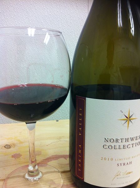
A Syrah wine grown in the Yakima Valley AVA.

The Yakima River south of Union Gap

180° panorama of the Yakima River as viewed from Highway 821.
Columbia River
Videos
Page
The Columbia River is the largest river in the Pacific Northwest region of North America. The river forms in the Rocky Mountains of British Columbia, Canada. It flows northwest and then south into the U.S. state of Washington, then turns west to form most of the border between Washington and the state of Oregon before emptying into the Pacific Ocean. The river is 1,243 miles long, and its largest tributary is the Snake River. Its drainage basin is roughly the size of France and extends into seven states of the United States and one Canadian province. The fourth-largest river in the United States by volume, the Columbia has the greatest flow of any river entering the Pacific outside of Asia, and the 36th greatest discharge of any river in the world.
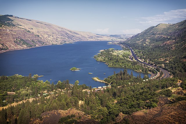
Columbia River from Rowena Crest with Interstate 84 on the right
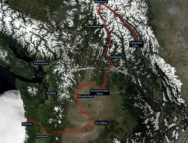
Course of the Columbia River

The Columbia River Gorge facing east toward Beacon Rock

Drumheller Channels, part of the Channeled Scablands formed by the Missoula Floods