Ōtara
Videos
Photos
Ōtara is a suburb of South Auckland, New Zealand, situated 18 kilometres to the southeast of the Auckland City Centre. Ōtara lies near the head of the Tamaki River, and is surrounded by the suburbs of Papatoetoe, East Tāmaki, Clover Park and Flat Bush. The area is traditionally part of the rohe of Ngāi Tai ki Tāmaki, and the name Ōtara refers to Ōtara Hill / Te Puke ō Tara, a former Ngāi Tai ki Tāmaki pā and volcanic hill to the north of the suburb. From 1851 to 1910 the area was part of the Goodfellow family farm, and during the 1910s the area was an agricultural college run by the Dilworth Trust.
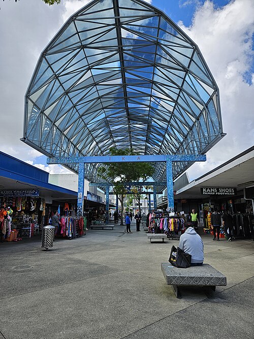
The central section of Fish Canopy, a 1987 sculpture in the Ōtara Town Centre

Pukewairiki is a volcanic maar found in the Ōtara Creek

A 1958 view of Ōtara Hill / Te Puke ō Tara, the namesake of the suburb and a Ngāi Tai ki Tāmaki pā site that has since been quarried

Aerial view of rural Ōtara and the Waitemata Brewery in 1949
South Auckland
Videos
Photos
South Auckland ) is one of the major geographical regions of Auckland, the largest city in New Zealand. The area is south of the Auckland isthmus, and on the eastern shores of the Manukau Harbour. The area has been populated by Tāmaki Māori since at least the 14th century, and has important archaeological sites, such as the Ōtuataua stonefield gardens at Ihumātao, and Māngere Mountain, a former pā site important to Waiohua tribes.

A satellite view of South Auckland in 2006

South Auckland is home to many volcanic maars along the coast of the Manukau Harbour, such as Māngere Lagoon

Māngere Mountain / Te Pane-o-Mataaho / Te Ara Pueru was an important pā site for Waiohua and Ngāti Whātua

A depiction of the first coal mining at Drury (1850)