1899 San Ciriaco hurricane
The 1899 San Ciríaco hurricane, also known as the 1899 Puerto Rico Hurricane or The Great Bahamas Hurricane of 1899, was the longest-lived Atlantic hurricane on record, and the third-longest-lived tropical cyclone globally on record after 1994's Hurricane John in the Pacific Ocean and 2023's Cyclone Freddy in the southern Indian Ocean. It was also one of the deadliest Atlantic hurricanes in recorded history, with an estimated 3,800 fatalities. The third tropical cyclone and first major hurricane of the season, this storm was first observed southwest of Cape Verde on August 3. It slowly strengthened while heading steadily west-northwestward across the Atlantic Ocean and reached hurricane status by late on August 5. During the following 48 hours, it deepened further, reaching Category 4 on the modern day Saffir–Simpson hurricane wind scale (SSHWS) before crossing the Leeward Islands on August 7. Later that day, the storm peaked with winds of 150 mph (240 km/h). The storm weakened slightly before making landfall in Guayama, Puerto Rico with winds of 140 mph (220 km/h) on August 8. Several hours later, it emerged into the southwestern Atlantic as a Category 3 hurricane. The system paralleled the north coast of Dominican Republic and then crossed the Bahamas, striking several islands. Then, on August 14, it started to move north while still being located east of Florida. The storm recurved northeastward early the next morning and appeared to be moving out to sea. However, by August 17, it turned back to the northwest and made landfall near Hatteras, North Carolina early on the following day. No stronger hurricane has made landfall on the Outer Banks since the San Ciriaco hurricane.

Surface Weather Analysis of Hurricane San Ciriaco on August 13, 1899.
The storm's path across Puerto Rico
Damage in Puerto Rico after Hurricane San Ciriaco.
Winslow Homer painting of a man lying on a beach next to his destroyed boat in the Bahamas
An Atlantic hurricane is a type of tropical cyclone that forms in the Atlantic Ocean primarily between June and November. The terms "hurricane", "typhoon", and "cyclone" can be used interchangeably to describe this weather phenomenon. These storms are rotating, organized systems of clouds and thunderstorms that originate over tropical or subtropical waters and have closed low-level circulation, not to be confused with tornadoes. They form over low pressure systems. In the North Atlantic, central North Pacific, and eastern North Pacific, the term "hurricane" is mainly used, whereas "typhoon" is more commonly used for storms originating in the western North Pacific. The term "cyclone" is used in the South Pacific and Indian Ocean.
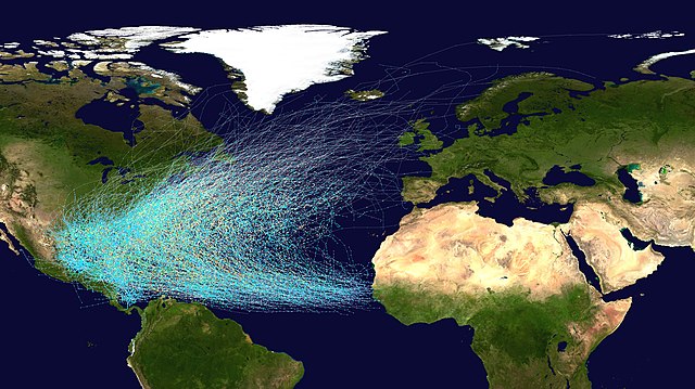
Tracks of North Atlantic tropical cyclones from 1851 to 2019
The subtropical ridge (in the Pacific) shows up as a large area of black (dryness) on this water vapor satellite image from September 2000
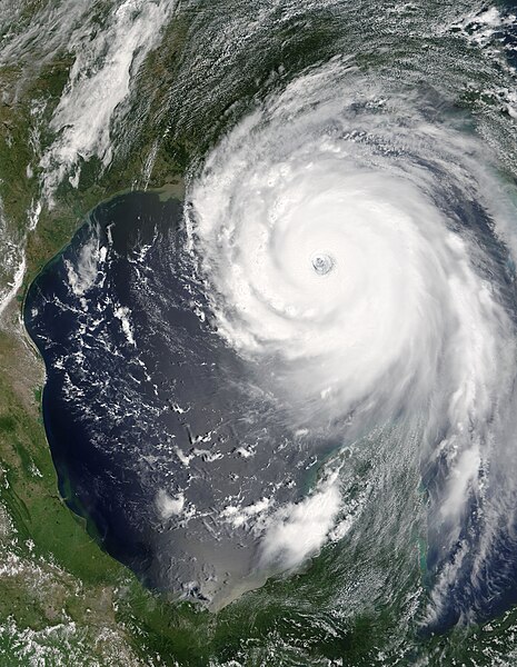
Hurricane Katrina was the costliest and one of the five deadliest hurricanes in the history of the United States.