1980 eruption of Mount St. Helens
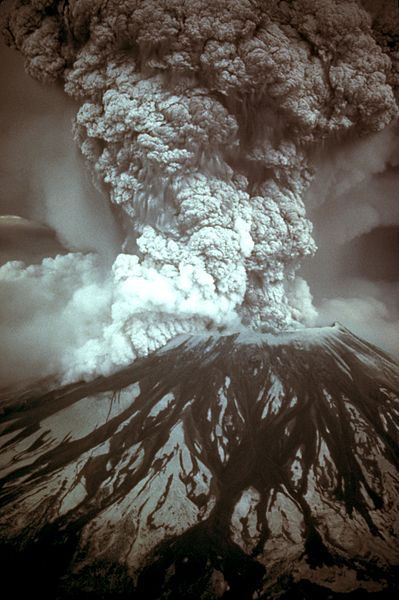
On March 27, 1980, a series of volcanic explosions and pyroclastic flows began at Mount St. Helens in Skamania County, Washington, United States. A series of phreatic blasts occurred from the summit and escalated until a major explosive eruption took place on May 18, 1980, at 8:32 am. The eruption, which had a volcanic explosivity index of 5, was the first to occur in the contiguous United States since the much smaller 1915 eruption of Lassen Peak in California. It has often been declared the most disastrous volcanic eruption in U.S. history.
Photograph of the eruption column, May 18, 1980, taken by Austin Post
Mount St. Helens from Monitor Ridge, this image shows the cone of devastation, the huge crater open to the north, the posteruption lava dome inside, and Crater Glacier surrounding the lava dome. The small photo on the left was taken from Spirit Lake before the eruption and the small photo on the right was taken after the eruption from roughly the same place. Spirit Lake can also be seen in the larger image, as well as Mount Rainier and Mount Adams.
USGS photo showing a pre-avalanche eruption on April 10
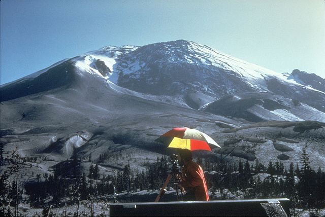
Photo showing the bulge growing due to a cryptodome on April 27
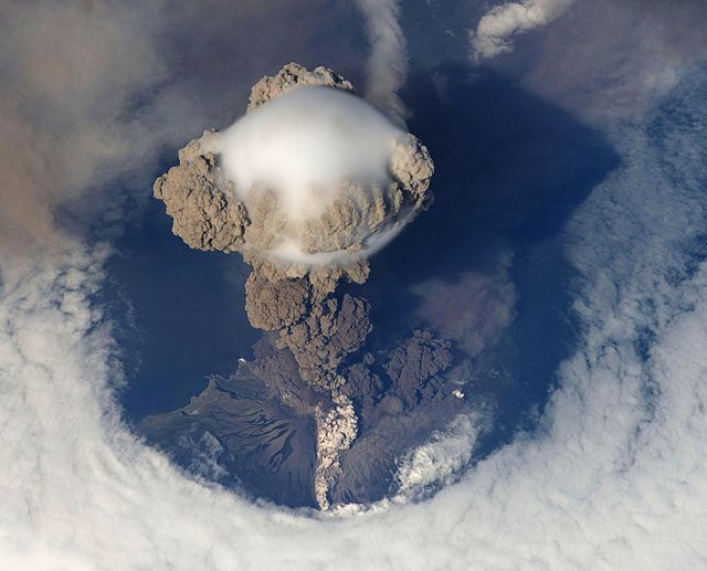
In volcanology, an explosive eruption is a volcanic eruption of the most violent type. A notable example is the 1980 eruption of Mount St. Helens. Such eruptions result when sufficient gas has dissolved under pressure within a viscous magma such that expelled lava violently froths into volcanic ash when pressure is suddenly lowered at the vent. Sometimes a lava plug will block the conduit to the summit, and when this occurs, eruptions are more violent. Explosive eruptions can expel as much as 1,000 kg (2,200 lb) per second of rocks, dust, gas and pyroclastic material, averaged over the duration of eruption, that travels at several hundred meters per second as high as 20 km (12 mi) into the atmosphere. This cloud may subsequently collapse, creating a fast-moving pyroclastic flow of hot volcanic matter.
Mount St. Helens explosive eruption on May 18, 1980
Eruption of Mount Pinatubo in the Philippines on June 12, 1991 (PST). Its ash would spread as far west as mainland South East Asia.
An early stage of the July 12, 2009, eruption of Sarychev volcano, seen from space