2004 Indian Ocean earthquake and tsunami
On 26 December 2004, at 07:58:53 local time (UTC+7), a major earthquake with a magnitude of 9.1–9.3 Mw struck with an epicentre off the west coast of northern Sumatra, Indonesia. The undersea megathrust earthquake, known by the scientific community as the Sumatra–Andaman earthquake, was caused by a rupture along the fault between the Burma Plate and the Indian Plate, and reached a Mercalli intensity up to IX in some areas.
Image: US Navy 050102 N 9593M 040 A village near the coast of Sumatra lays in ruin after the Tsunami that struck South East Asia
Image: 041231중앙119구조본부 서남아시아 지진해일 출동3
Image: Man searching through rubble in Meulaboh after 2004 tsunami DM SD 06 11957
Image: 2004 tsunami balanced
An earthquake – also called a quake, tremor, or temblor – is the shaking of the Earth's surface resulting from a sudden release of energy in the lithosphere that creates seismic waves. Earthquakes can range in intensity, from those so weak they cannot be felt, to those violent enough to propel objects and people into the air, damage critical infrastructure, and wreak destruction across entire cities. The seismic activity of an area is the frequency, type, and size of earthquakes experienced over a particular time. The seismicity at a particular location in the Earth is the average rate of seismic energy release per unit volume.
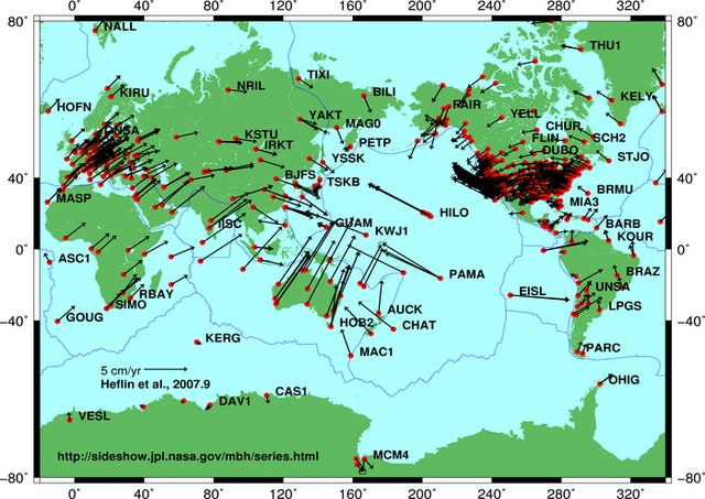
Global plate tectonic movement
Aerial photo of the San Andreas Fault in the Carrizo Plain, northwest of Los Angeles
Collapsed Gran Hotel building in the San Salvador metropolis, after the shallow 1986 San Salvador earthquake
The 2023 Turkey–Syria earthquakes ruptured along segments of the East Anatolian Fault at supershear speeds; more than 50,000 people died in both countries.


