57th Street (Manhattan)
Videos
57th Street is a broad thoroughfare in the New York City borough of Manhattan, one of the major two-way, east-west streets in the borough's grid. As with Manhattan's other "crosstown" streets, it is divided into its east and west sections at Fifth Avenue. The street runs from a small park overlooking the East River in the east to the West Side Highway along the Hudson River in the west. 57th Street runs through the neighborhoods of Sutton Place, Midtown Manhattan, and Hell's Kitchen from east to west.


The Hearst Tower at 300 West 57th Street

Art Students League at 215 West 57th Street
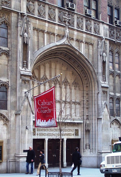
Calvary Baptist Church entrance at 123 West 57th Street
York Avenue and Sutton Place
Videos
York Avenue, Sutton Place, and Sutton Place South are the names of segments of a north–south thoroughfare in the Yorkville, Lenox Hill, and Sutton Place neighborhoods of the East Side of Manhattan, in New York City. York Avenue runs from 59th to 92nd Streets through eastern Lenox Hill and Yorkville on the Upper East Side. Sutton Place and Sutton Place South run through their namesake neighborhood along the East River and south of the Queensboro Bridge. Sutton Place South runs from 57th to 53rd Streets. Unlike most north–south streets in Manhattan, building address numbers along Sutton Place South increase when headed south. Sutton Place runs from 57th to 59th Streets. The streets are considered among the city's most affluent, and both portions are known for upscale apartments, much like the rest of the Upper East Side.

Seen from the top of the Queensboro Bridge

Townhouses line the east side of Sutton Place between 58th and 57th Streets

"Avenue A Estate" of New York & Suburban Homes Company, named before the Avenue was renamed

Gates of The Rockefeller University on York Avenue