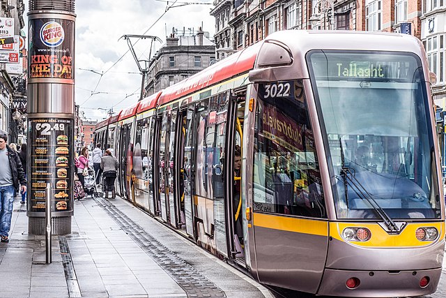
Abbey Street is a major street, located on the Northside of Dublin city centre, running from the Customs House and Beresford Place in the east to Capel Street in the west, where it continues as Mary's Abbey. The street is served by two Luas light rail stops, one at Jervis Street and Abbey Street Luas stop near O'Connell Street. About 1 km in length, it is divided into Abbey Street Upper, Abbey Street Middle and Abbey Street Lower. Abbey Street Old is a laneway to the rear of the buildings on the south side of Abbey Street Lower.
Abbey Street
Luas tram stop at Abbey Street
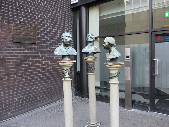
Talking Heads sculpture near the National Lottery offices on Abbey Street Lower
The Northside in an informal but commonly used term to describe the part of the city of Dublin that lies to the north of the River Liffey, and extending into part of North County Dublin. The part outside the city is within the county of Fingal, a local government area established in 1994. While it is sometimes regarded as less wealthy than the city's Southside, the Northside was originally the home of the city's upper classes and the more privileged of the two. Today, some of the wealthiest areas in Ireland, such as Malahide, Howth, Clontarf, and Castleknock, lie north of the river.
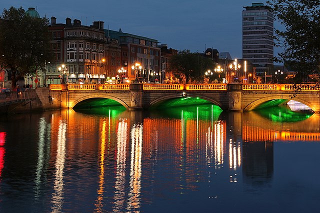
O'Connell Bridge, looking northeast
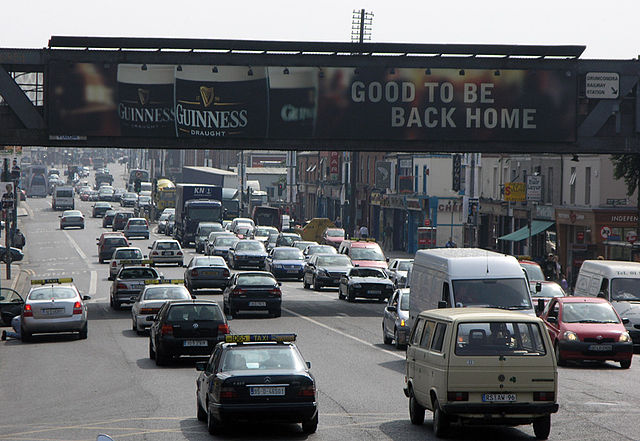
Traffic passing the Independent Bridge at Drumcondra
The harbour at Howth
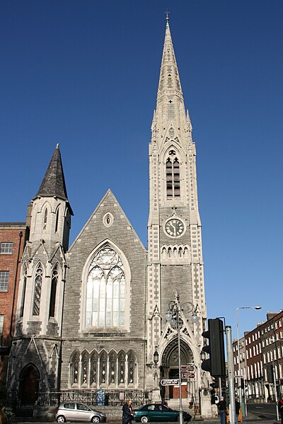
Findlater's Church (Abbey Presbyterian Church), Parnell Square


