Athura, also called Assyria, was a geographical area within the Achaemenid Empire in Upper Mesopotamia from 539 to 330 BC as a military protectorate state. Although sometimes regarded as a satrapy, Achaemenid royal inscriptions list it as a dahyu, a concept generally interpreted as meaning either a group of people or both a country and its people, without any administrative implication.
Assyrians lay waste to Hamanu, Elam, 647 BC. In less than 40 years the same fate would befall Assur, Nineveh and Harran.
Inscriptional Pahlavi text from Shapur III at Taq-e Bostan, fourth century. Pahlavi script is derived from the Aramaic alphabet used under Achaemenid rule.
Assyrians of Athura were responsible for the glazing of the Palace of Darius at Susa and have influenced Achaemenid Persian art to some extent.
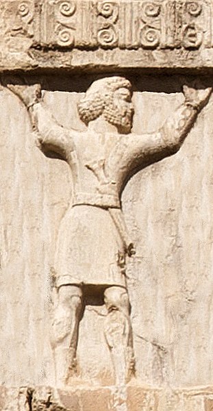
Assyrian soldier in the Achaemenid army circa 470 BC, Xerxes I tomb, Naqsh-e Rustam.
Upper Mesopotamia constitutes the uplands and great outwash plain of northwestern Iraq, northeastern Syria and southeastern Turkey, in the northern Middle East. Since the early Muslim conquests of the mid-7th century, the region has been known by the traditional Arabic name of al-Jazira and the Syriac variant Gāzartā or Gozarto (ܓܙܪܬܐ). The Euphrates and Tigris rivers transform Mesopotamia into almost an island, as they are joined together at the Shatt al-Arab in the Basra Governorate of Iraq, and their sources in eastern Turkey are in close proximity.
Tigris river flows through Mosul, near the ancient Assyrian city of Nineveh, which is a major settlement and hosts farmland in Upper Mesopotamia
Monumental stone buildings at Göbekli Tepe, c. 9000 BC
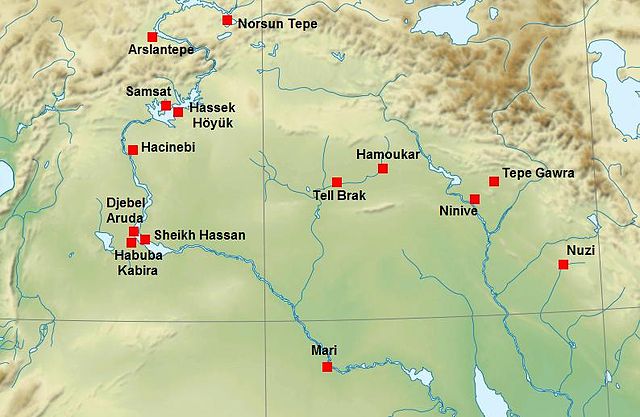
Uruk period (c. 4000 to 3100 BC).