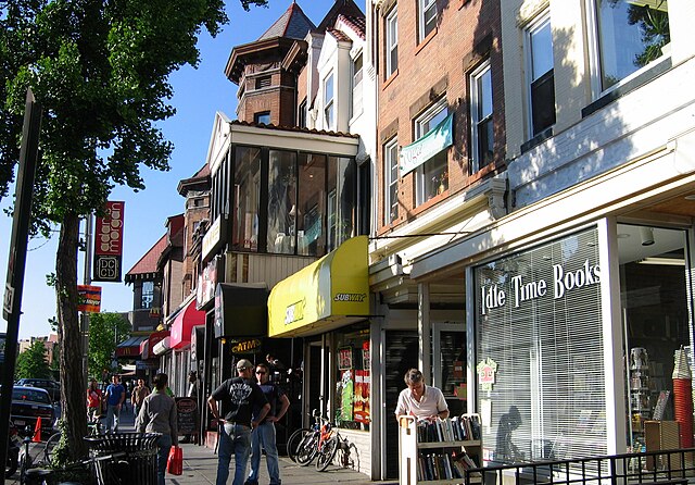
Adams Morgan, commonly abbreviated as AdMo, is a neighborhood in Washington, D.C., located in Northwest D.C. Adams Morgan is noted as a historic hub for counterculture and as an arts district. It is also known for its popular entertainment district and culinary scene, centered on both 18th Street and Columbia Road.
Image: 1800 block of California Street, NW
Image: Adamsmorgan 2 (cropped)
Image: Adams Morgan plaza (cropped 2)
Image: Adams Morgan Plaza 7
Northwest (Washington, D.C.)
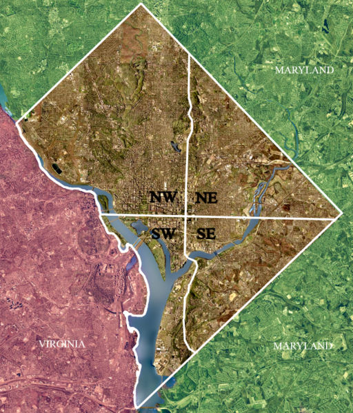
Northwest is the northwestern quadrant of Washington, D.C., the capital of the United States, and is located north of the National Mall and west of North Capitol Street. It is the largest of the four quadrants of the city, and it includes the central business district, the Federal Triangle, and the museums along the northern side of the National Mall, as well as many of the District's historic neighborhoods.
Color-enhanced USGS satellite image of Washington, D.C. with the crosshairs marking the quadrant divisions of Washington, D.C., with the U.S. Capitol at the center of the dividing lines. To the west of the Capitol extends the National Mall, visible as a slight green band in the image. The Northwest quadrant is the largest, located north of the Mall and west of North Capitol Street.
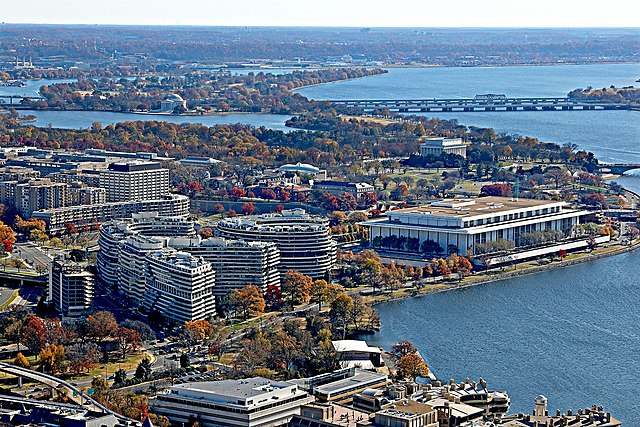
The Watergate complex (left) and the Kennedy Center (right) in the Foggy Bottom neighborhood
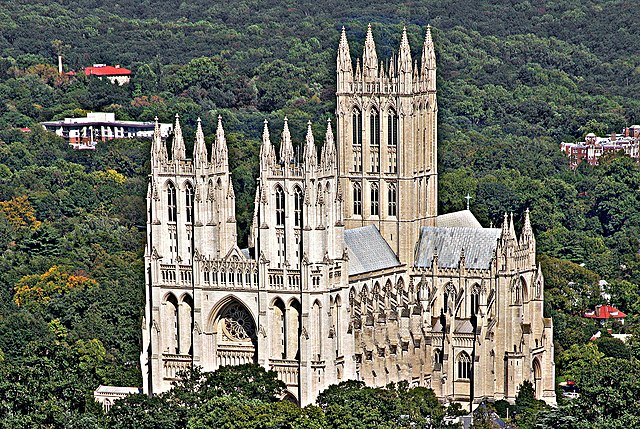
Washington National Cathedral
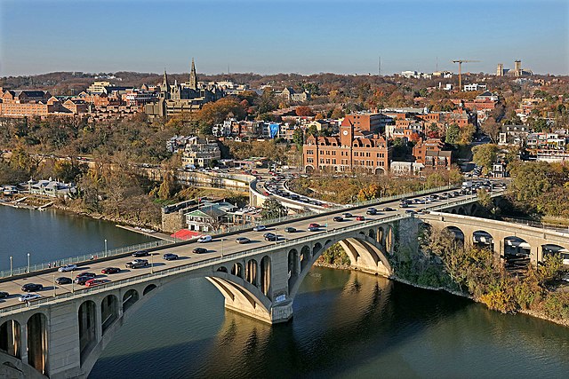
Francis Scott Key Bridge