The Adelaide Park Lands comprise the figure-eight configuration of land, spanning both banks of the River Torrens between Hackney and Thebarton, which encloses and separates the City of Adelaide area from the surrounding suburbia of greater metropolitan Adelaide, the capital city of South Australia. They were laid out by Colonel William Light in his design for the city, and originally consisted of 2,300 acres (930 ha) "exclusive of 32 acres (13 ha) for a public cemetery". One copy of Light's plan shows areas for a cemetery and a Post and Telegraph Store on West Terrace, a small Government Domain and Barracks on the central part of North Terrace, a hospital on East Terrace, a Botanical Garden on the River Torrens west of North Adelaide, and a school and a storehouse south-west of North Adelaide.
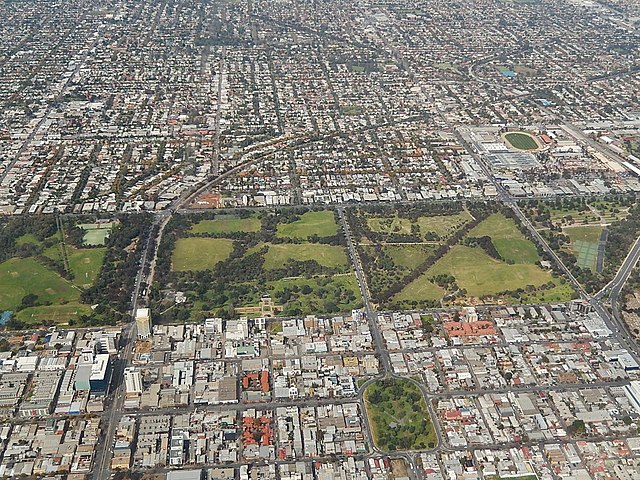
Aerial view of South Park Lands showing Parks 20, 21, 22 & Whitmore Square in the lower right.
Rymill Park / Murlawirrapurka (Park 14), a popular part of the Park Lands
Flower bed in Pinky Flat / Tarntanya Wama (Park 26)
Gum trees and a creek in Park 20
The River Torrens is the most significant river of the Adelaide Plains. It was one of the main reasons for the siting of the city of Adelaide, capital of South Australia. It flows 85 kilometres (53 mi) from its source in the Adelaide Hills near Mount Pleasant, across the Adelaide Plains, past the city centre and empties into Gulf St Vincent between Henley Beach South and West Beach. The upper stretches of the river and the reservoirs in its watershed supply a significant part of the city's water supply.
View of Elder Park, the Riverside Precinct and the Torrens Lake, before construction of the pedestrian bridge in 2014.
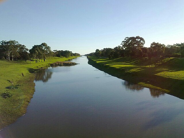
View west towards the Torrens outlet from the Davis Bridge, Tapleys Hill Road
Second Creek at St Peters, showing open canal at that point
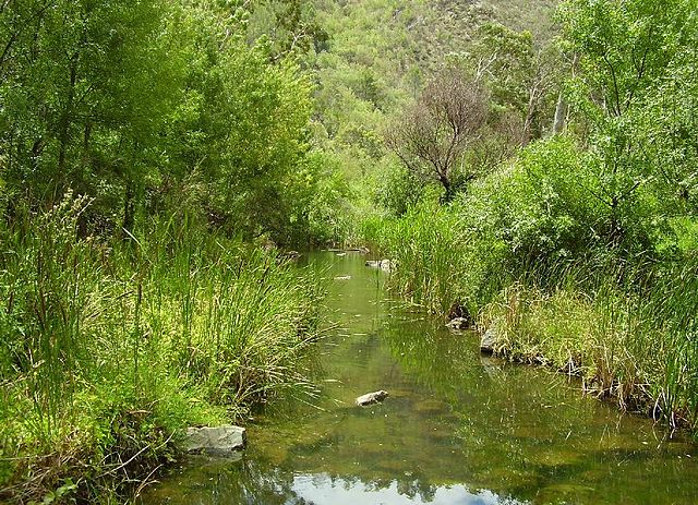
The river in summer at base of the Adelaide Hills, Athelstone


