The Agua Fria River is a 120-mile (190 km) long intermittent stream which flows generally south from 20 miles (32 km) east-northeast of Prescott in the U.S. state of Arizona. Prescott draws much of its municipal water supply from the upper Agua Fria watershed. The Agua Fria runs through the Agua Fria National Monument. The river then flows through a small canyon called "Black Canyon" into Lake Pleasant, a popular recreation area near Peoria, Arizona.
(There is a large "Black Canyon" on the Colorado River along the Arizona–Nevada border.)
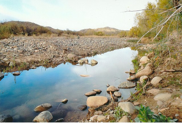
The Agua Fria River on the border edge of Gillett, Arizona.
Agua Fria Canyon, near Richinbar Mine, Agua Fria National Monument
The historic Agua Fria River Bridge was built by the Santa Fe Railroad over the Agua Fria River in 1895. It is located on the right side of Grand Avenue traveling from Phoenix to Wickenburg, close to 111th Ave. in El Mirage.
Agua Fria National Monument
Agua Fria National Monument is in the U.S. state of Arizona, approximately 40 miles (64 km) north of downtown Phoenix, Arizona. Created by Presidential proclamation on January 11, 2000, the 72,344-acre monument is managed by the Bureau of Land Management, an agency within the U.S. Department of the Interior. The Bureau of Land Management already managed the lands; however, under monument status the level of protection and preservation of resources within the new monument have been enhanced.
Agua Fria National Monument
Ruins of a village built by Puebloans about 1000 years ago on top of Indian Mesa. This is part of the wall of the fort that surrounded the village. The holes in the wall are viewing holes so the defenders can view the only path to the top. There are several branches of an ocotillo plant in the foreground.