Aguascalientes, officially the Free and Sovereign State of Aguascalientes, is one of the 32 states which comprise the Federal Entities of Mexico. At 22°N and with an average altitude of 1,950 m (6,400 ft) above sea level it is predominantly of semi-arid climate. The state is located in west-central Mexico and is located in the northern part of the Bajío region, which is in the north-central part of the country, bordered by Zacatecas to the north, east and west, and by Jalisco to the south.
Rock art at the El Ocote archeological site.
Prehispanic city of La Quemada, Zacatecas, near Aguascalientes.
Pueblo mágico of Real de Asientos, founded as a mining town in northern Aguascalientes by conquistador Diego de Ibarra in 1548.
Pancho Villa, Eulalio Gutiérrez y Emiliano Zapata after the Revolutionary Convention of Aguascalientes, 1914.
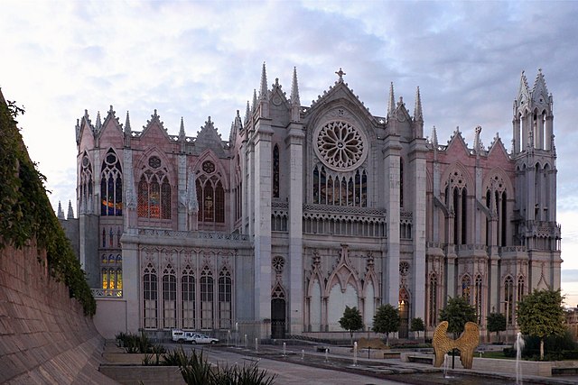
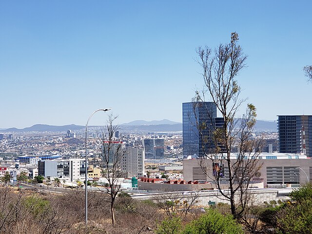
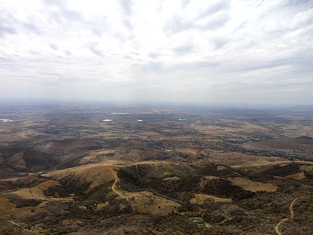
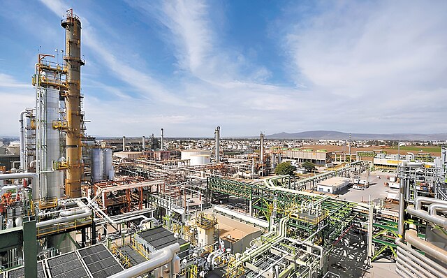
The Bajío is a cultural and geographical region within the central Mexican plateau which roughly spans from northwest of Mexico City to the main silver mines in the northern-central part of the country. This includes the states of Querétaro, Guanajuato, parts of Jalisco, Aguascalientes and parts of Zacatecas, San Luis Potosí and Michoacán.
Image: Expiatorio 4.5 fixed
Image: Panorámica Querétaro Centro Sur México 4
Image: Paisaje de El Bajío Guanajuatense 5
Image: Fotografía panorámica de la refinería de Salamanca, México


