The Alabama River, in the U.S. state of Alabama, is formed by the Tallapoosa and Coosa rivers, which unite about 6 miles (10 km) north of Montgomery, near the town of Wetumpka.
The Alabama River at Montgomery in 2004
Claiborne Lock and Dam on the Alabama River, approximately 5 miles (8 km) upriver from Claiborne, Monroe County
Robert F. Henry Lock and Dam on the Alabama River, approximately 15 miles (24 km) east of Selma
Millers Ferry Lock and Dam on the Alabama River in Wilcox County, approximately 9.5 miles (15.3 km) northwest of Camden
Alabama is a state in the Southeastern region of the United States. It borders Tennessee to the north, Georgia to the east, Florida and the Gulf of Mexico to the south, and Mississippi to the west. Alabama is the 30th largest by area and the 24th-most populous of the 50 U.S. states.
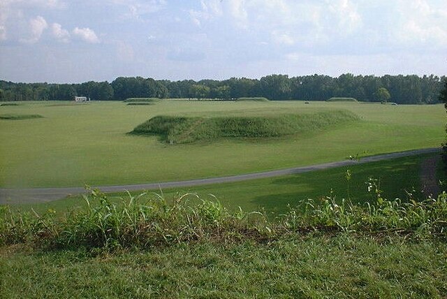
The Moundville Archaeological Site in Hale County. It was occupied by Native Americans of the Mississippian culture from 1000 to 1450 CE.
The main house, built in 1833, at Thornhill in Greene County. It is a former Black Belt plantation.
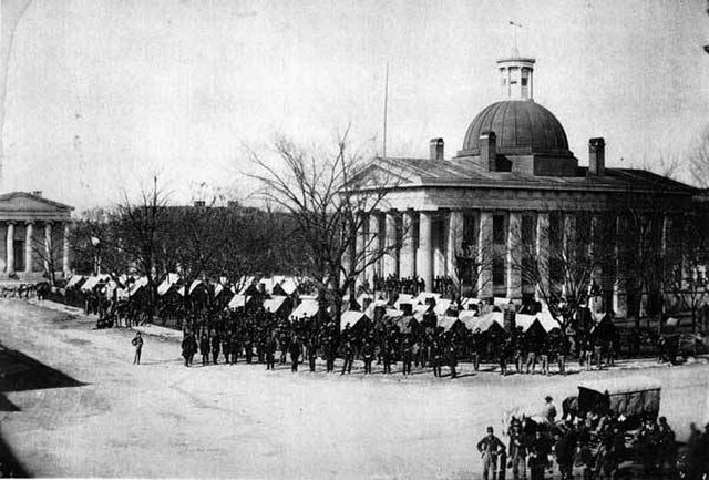
Union Army troops occupying Courthouse Square in Huntsville, following its capture and occupation by federal forces in 1864
The developing skyline of Birmingham in 1915


