The Alaska Highway was constructed during World War II to connect the contiguous United States to Alaska across Canada. It begins at the junction with several Canadian highways in Dawson Creek, British Columbia, and runs to Delta Junction, Alaska, via Whitehorse, Yukon. When it was completed in 1942, it was about 2,700 kilometres (1,700 mi) long, but in 2012, it was only 2,232 km (1,387 mi). This is due to the realignments of the highway over the years, which has rerouted and straightened many sections. The highway opened to the public in 1948. Once legendary for being a rough, challenging drive, the highway is now paved over its entire length. Its component highways are British Columbia Highway 97, Yukon Highway 1, and Alaska Route 2.
Bypassed segment still in use, southeast of Delta Junction
A caterpillar tractor with dozer widens the roadway of the Alaska Highway, 1942
Soldiers of the U.S. Army Corps of Engineers meeting in the middle after completing construction of the Alaska Highway
Replica log bridge at Aishihik River crossing
Alaska is a non-contiguous U.S. state on the northwest extremity of North America. It borders the Canadian province of British Columbia and the Yukon territory to the east; it shares a western maritime border in the Bering Strait with Russia's Chukotka Autonomous Okrug. The Chukchi and Beaufort Seas of the Arctic Ocean lie to the north and the Pacific Ocean lies to the south. Technically a semi-exclave of the U.S., it is the largest exclave in the world.
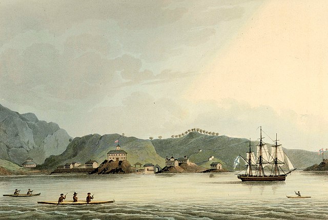
The Russian settlement of St. Paul's Harbor (present-day Kodiak town), Kodiak Island, 1814
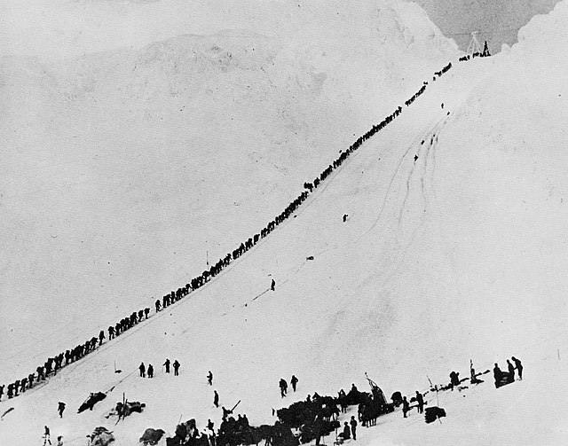
Miners and prospectors climb the Chilkoot Trail during the 1898 Klondike Gold Rush.
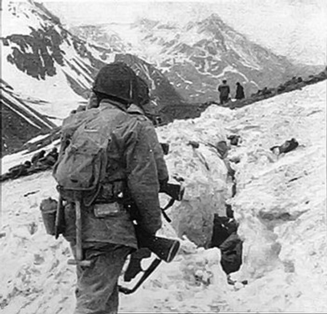
U.S. troops navigate snow and ice during the Battle of Attu in May 1943.
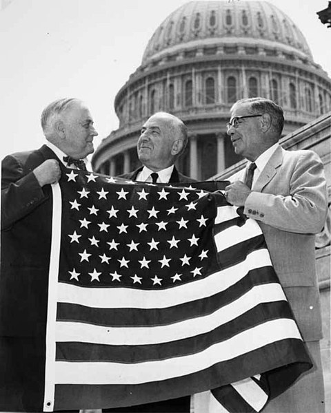
Bob Bartlett and Ernest Gruening, Alaska's inaugural U.S. Senators, hold the 49 star U.S. Flag after the admission of Alaska as the 49th state.