Alberta Provincial Highway No. 3, commonly referred to as Highway 3 and officially named the Crowsnest Highway, is a 324-kilometre (201 mi) highway that traverses southern Alberta, Canada, running from the Crowsnest Pass through Lethbridge to the Trans-Canada Highway in Medicine Hat. Together with British Columbia Highway 3 which begins in Hope, it forms an interprovincial route that serves as an alternate to the Trans-Canada from the Lower Mainland to the Canadian Prairies.
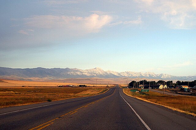
The Crowsnest Highway near Cowley
Looking east on Highway 3 near Lundbreck
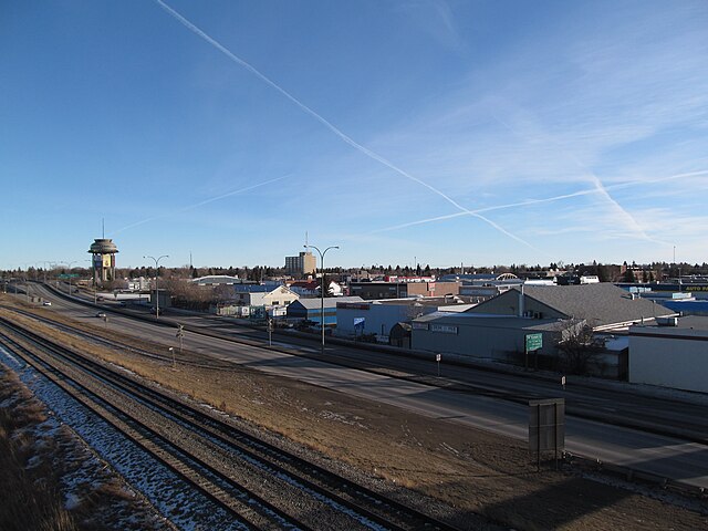
Crowsnest Trail in Lethbridge
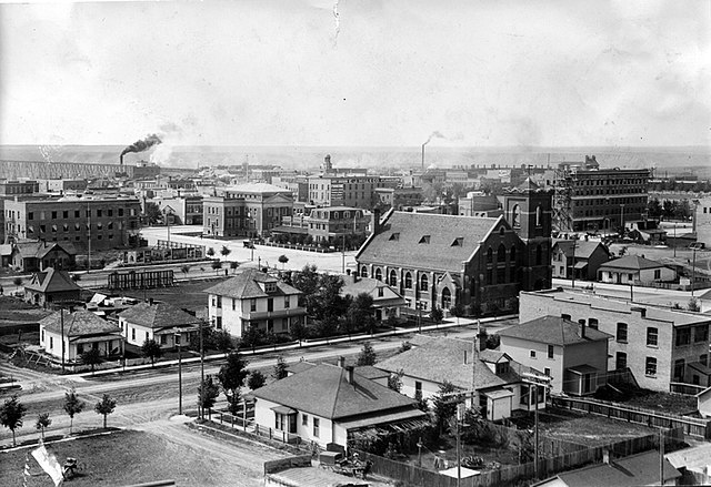
Lethbridge, seen here in 1911, was the hub of southern Alberta and the crossroads of the Red, Yellow, and Sunshine Trails that became Highways 3, 4, and 5, respectively.
The Crowsnest Highway is an east-west highway in British Columbia and Alberta, Canada. It stretches 1,161 km (721 mi) across the southern portions of both provinces, from Hope, British Columbia to Medicine Hat, Alberta, providing the shortest highway connection between the Lower Mainland and southeast Alberta through the Canadian Rockies. Mostly two-lane, the highway was officially designated in 1932, mainly following a mid-19th-century gold rush trail originally traced out by an engineer named Edgar Dewdney. It takes its name from the Crowsnest Pass, the location at which the highway crosses the Continental Divide between British Columbia and Alberta.
The peak of Allison Pass.
Through the Similkameen Valley westwards into the mountains
Westward into Similkameen Valley
Highway 3 near Cowley, Alberta


