Alberta Highway 63
Videos
Page
Alberta Provincial Highway No. 63, commonly referred to as Highway 63, is a 434-kilometre (270 mi) highway in northern Alberta, Canada that connects the Athabasca oil sands and Fort McMurray to Edmonton via Highway 28. It begins as a two-lane road near the hamlet of Radway where it splits from Highway 28, running north through aspen parkland and farmland of north central Alberta. North of Boyle, it curves east to pass through the hamlet of Grassland and becomes divided west of Atmore where it again turns north, this time through heavy boreal forest and muskeg, particularly beyond Wandering River. Traffic levels significantly increase as Highway 63 bends through Fort McMurray, crossing the Athabasca River before connecting the city to the Syncrude and Suncor Energy plants further north. It ends approximately 16 km (10 mi) beyond a second crossing of the Athabasca River northeast of Fort McKay.

Highway 63 is the main route through Fort McMurray, seen here near Prairie Loop Blvd and the Hangingstone River crossing
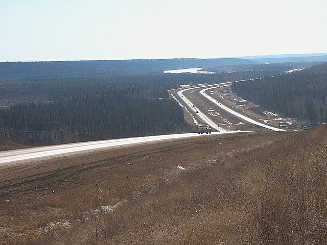
North of Fort McMurray, Highway 63 is a divided highway until it reaches the Athabasca River crossing south of Fort McKay
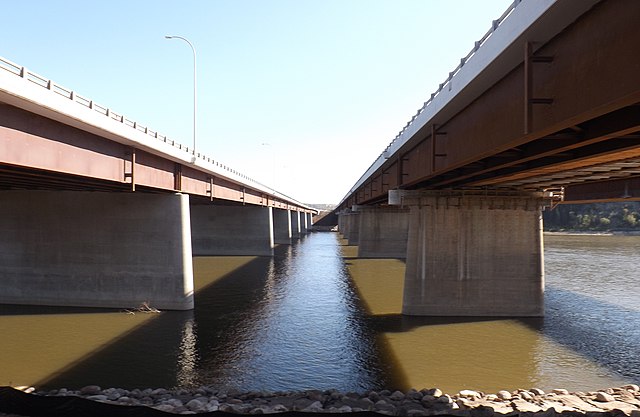
The Athabasca River Bridge and Steinhauer Bridge in Fort McMurray
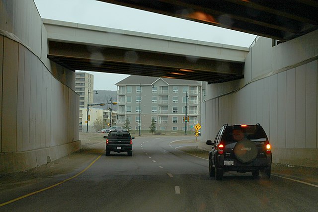
The Franklin Avenue Tunnel carries two lanes from the Grant MacEwan Bridge underneath Highway 63 and into downtown Fort McMurray.
Northern Alberta
Videos
Page
Northern Alberta is a geographic region located in the Canadian province of Alberta.
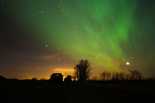
Image: Aurora Alberta Canada (17111423051)
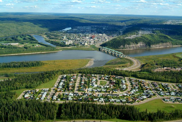
Image: Fort mcmurray aerial
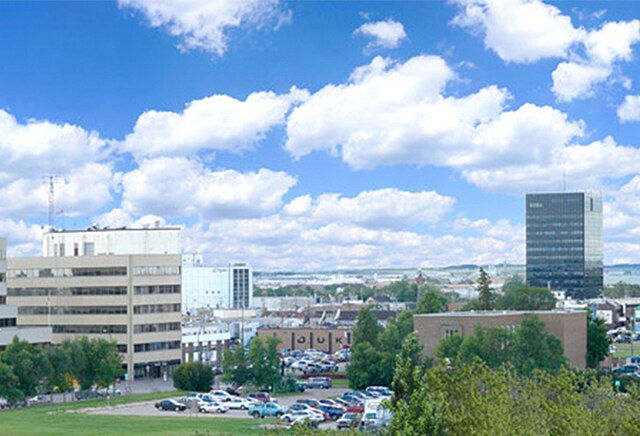
Image: GP Skyline
Image: The Athabasca River at Fort Chipewyan