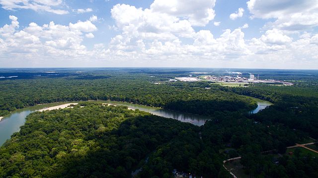
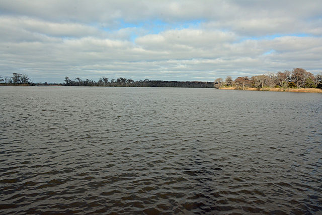
The Altamaha River is a major river in the U.S. state of Georgia. It flows generally eastward for 137 miles (220 km) from its origin at the confluence of the Oconee River and Ocmulgee River towards the Atlantic Ocean, where it empties into the ocean near Brunswick, Georgia. No dams are directly on the Altamaha, though some are on the Oconee and the Ocmulgee. Including its tributaries, the Altamaha River's drainage basin is about 14,000 square miles (36,000 km2) in size, qualifying it among the larger river basins of the US Atlantic coast.
The Altamaha River viewed from the bridge between Glynn County and McIntosh County, Georgia, USA
Altamaha River on the border of McIntosh and Glynn Counties, Georgia, USA: The bridge is over US Highway 17.
Looking southeast with Rayonier and US-301 bridge in background
Altamaha River looking towards the Atlantic Ocean
The Ocmulgee River is a western tributary of the Altamaha River, approximately 255 mi (410 km) long, in the U.S. state of Georgia. It is the westernmost major tributary of the Altamaha. It was formerly known by its Hitchiti name of Ocheese Creek, from which the Creek (Muscogee) people derived their name.
Ocmulgee River in Monroe County Recreational Park
Ocmulgee River Looking southeast toward Second Street in Macon, Georgia
Ocmulgee River flood in Spring 1876


