Anaconda–Pintler Wilderness
The Anaconda–Pintler Wilderness is located in southwestern Montana, in the northwestern United States. It runs for 40 miles (64 km) along both sides of the crest of the Anaconda Range, covering almost 250 square miles (650 km2). To the north are the Sapphire Mountains, and to the south is the Big Hole Valley. Elevations range from about 5,000 feet (1,500 m) up to 10,793 feet (3,290 m) at West Goat Peak. West Pintler Peak, located in a more commonly visited area, rises to 9,894 feet (3,016 m). Visitors can most easily access this area via trailheads at Pintler Lake to the south, and at Lutz Creek and Moose Lake to the north. The wilderness lies in parts of Deer Lodge, Granite, Ravalli, and Beaverhead counties.
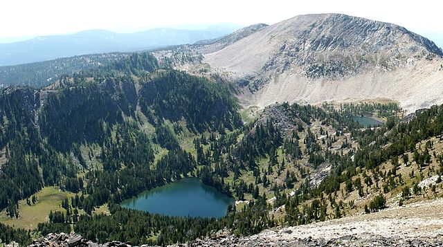
Oreamnos Lake and West Pintler Peak, looking west from the ridge near East Pintler Peak
The Sapphire Mountains are a range of mountains located in southwestern Montana in the northwestern United States. From a point near the Clark Fork River and the city of Missoula, they run in a southerly direction for a distance of approximately 60 miles (100 km), making up much of the border between Ravalli County and Granite County. To the west is the Bitterroot Valley, and to the east is Rock Creek. The southern end of the range meets the larger Anaconda Range at West Pintler Peak.
The Sapphire Mountains as seen from the Bitterroot Valley


