Anglezarke
Videos
Page
Anglezarke is a sparsely populated civil parish in the Borough of Chorley in Lancashire, England. It is an agricultural area used for sheep farming and is also the site of reservoirs that were built to supply water to Liverpool. The area has a large expanse of moorland with many public footpaths and bridleways. The area is popular with walkers and tourists; it lies in the West Pennine Moors in Lancashire, sandwiched between the moors of Withnell and Rivington, and is close to the towns of Chorley, Horwich and Darwen. At the 2001 census it had a population of 23, but at the 2011 census the population was included within Heapey civil parish. The area was subjected to depopulation after the reservoirs were built.

The cairn on Round Loaf on Anglezarke Moor, looking towards Winter Hill

Manor House

Lead Mines Clough, remains of water wheel and pump shaft

The ruins of Higher Hempshaw's, looking south-west
Borough of Chorley
Videos
Page
The Borough of Chorley is a local government district with borough status in Lancashire, England. It is named after the town of Chorley, which is an unparished area. The borough extends to several villages and hamlets including Adlington, Buckshaw Village, Croston, Eccleston, Euxton and Whittle-le-Woods.

Coat of arms
Borough of Chorley

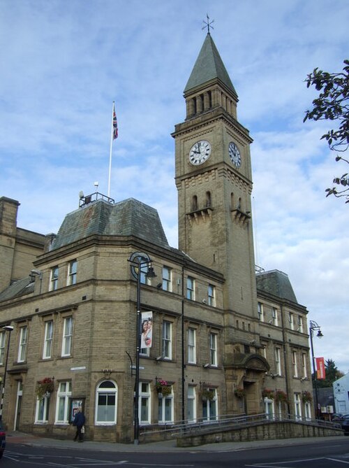
Image: Town Hall, Chorley geograph.org.uk 2522957

Image: War Memorial, Adlington geograph.org.uk 3433084