Annandale, New South Wales
Annandale is a suburb in the Inner West of Sydney, in the state of New South Wales, Australia. Annandale is located within 5 kilometres west of the Sydney central business district and is part of the local government area of the Inner West Council. Annandale's northern end lies on Rozelle Bay, which is on Sydney Harbour. Glebe lies to its east, Lilyfield and Leichhardt to its west and Stanmore and Camperdown to its south.
Former tram service, corner of Booth and Johnston Streets 1955
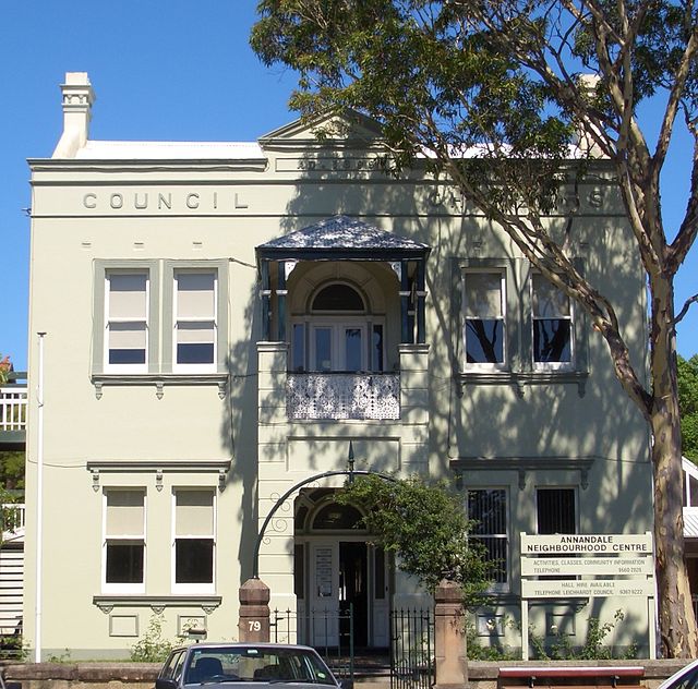
Annandale Council Chambers, circa 1899, designed by J.W.Richards
Johnston Street, Annandale, c. 1880s showing The Abbey
Sub-division plan, Annandale,1880, F H Reuss.
The Inner West of Sydney is an area directly west of the Sydney central business district, New South Wales, Australia. The suburbs that make up the Inner West are predominantly located along the southern shore of Port Jackson, stretching south to the shores of the Cooks River. The western boundary of the Inner West is approximately the A3 arterial road, which divides the Inner West from the Greater Western Sydney region. The Inner West is much larger than the Inner West Council local government area. The Inner West roughly corresponds with the Parish of Petersham and Parish of Concord, two cadastral divisions used for land titles.
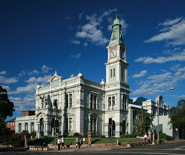
Leichhardt Town Hall, Leichhardt
A coach, marked "Ashfield-Burwood", is heading down Parramatta Road towards Sydney in the 1870s (the University of Sydney is in the background).
Yasmar, in Haberfield, built in the 1850s.
A large house in the Victorian Italiante style in Strathfield, typical of constructions in this area in the late 19th century.


