Anza-Borrego Desert State Park
Videos
Photos
Anza-Borrego Desert State Park is a California State Park located within the Colorado Desert of southern California, United States. The park takes its name from 18th century Spanish explorer Juan Bautista de Anza and borrego, a Spanish word for sheep. With 585,930 acres (237,120 ha) that includes one-fifth of San Diego County, it is the largest state park in California and the third largest state park nationally.

Desert view from Font's Point
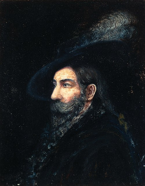
Juan Bautista de Anza, Spanish expeditionary and namesake of the park

Blair Valley

Vista of the Anza-Borrego desert landscape
Colorado Desert
Videos
Photos
Colorado Desert is a part of the larger Sonoran Desert located in California, United States and Baja California, Mexico. It encompasses approximately 7 million acres, including the heavily irrigated Coachella, Imperial and Mexicali valleys. It is home to many unique flora and fauna.

Colorado Desert landscape

The Algodones Dunes

Blooming cholla cactus with bird's nest in Anza Borrego Desert State Park

Bighorn sheep at Palm Canyon in Anza-Borrego State Park.