Arakan is the historical geographical name of Rakhine State, Myanmar. The region was called Arakan for centuries until the Burmese military junta changed its name in 1989. The people of the region were known as Arakanese.
Arakan lies on the west coast of Burma facing the Bay of Bengal
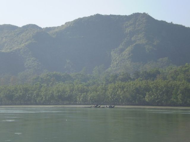
The Arakan Mountains seen from Maungdaw District by the banks of the Naf River.
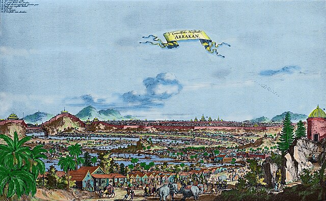
Bengal and Arakan in 1638
In the 17th century, Mrauk U was home to a diverse population including Buddhists, Muslims, Christians and Hindus; from Arakan, Burma proper, Bengal, North India, Northeast India, the Middle East and Europe
Rakhine State, formerly known as Arakan State, is a state in Myanmar (Burma). Situated on the western coast, it is bordered by Chin State to the north, Magway Region, Bago Region and Ayeyarwady Region to the east, the Bay of Bengal to the west and the Chittagong Division of Bangladesh to the northwest. It is located approximately between latitudes 17°30' north and 21°30' north and longitudes 92°10' east and 94°50' east. The Arakan Mountains or Rakhine Yoma separated Rakhine State from central Burma from North to South. Off the coast of Rakhine State there are some fairly large islands such as Ramree, Cheduba and Myingun. Rakhine State has an area of 36,762 square kilometres (14,194 sq mi) and its capital is Sittwe.
Silver coin of king Nitichandra, Arakan. Brahmi legend "NITI" in front, Shrivatasa symbol on the reverse. 8th century CE.
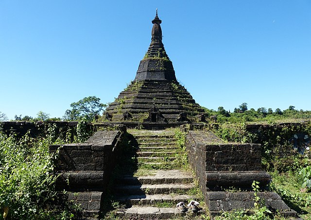
Laung Bwann Brauk Pagoda
Rohingya refugees entering Bangladesh after being driven out of Rakhine State, 2017
Spatial Illustration of Disenfranchisement of 2020 General Election in Arakan (Rakhine State)


