Aransas National Wildlife Refuge
Aransas National Wildlife Refuge is a 115,324-acre (466.7 km2) protected area situated on the southwest side of San Antonio Bay along the Gulf Coast of the U.S. state of Texas. It is located in parts of Aransas, Refugio, and Calhoun Counties. It is situated on the southwest side of the San Antonio Bay, formed by the mouth of the Guadalupe River. It also includes nearly the entirety of Matagorda Island, a 38-mile barrier island. The Aransas National Wildlife Refuge was established by Executive Order 7784 on 31 December 1937 by President Franklin D. Roosevelt as the Aransas Migratory Waterfowl Refuge as a refuge and breeding ground for migratory birds and other wildlife. Roosevelt issued a proclamation in 1940 changing the name to the Aransas National Wildlife Refuge.
Wetlands at Aransas National Wildlife Refuge looking out from the 40 ft observation tower.
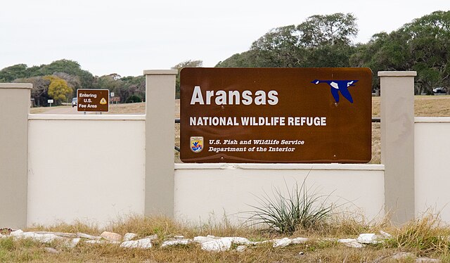
Image: Aransas National Wildlife Refuge sign
San Antonio Bay is a bay on the Texas Gulf Coast situated between Matagorda and Aransas Bay. It consists mainly of the combined waters of the San Antonio and Guadalupe rivers, and is located at the mouth of the Guadalupe River, about 55 miles (89 km) northeast of Corpus Christi and 130 miles (209 km) southeast of San Antonio. It is protected from the Gulf of Mexico by Matagorda Island, leaving only relatively small and distant outlets to the Gulf for little mixing of bay and Gulf waters. The remoteness of the bay has prevented the establishment of major ports as seen on Aransas Bay and Corpus Christi Bay, to the south.
The shore of San Antonio Bay
View from the International Space Station
Ayres Bay (orange), Espiritu Santo Bay (red), Guadalupe Bay (cyan), Hynes Bay (blue violet), Mission Lake (pink), Pringle Lake (brown), San Antonio Bay (green)


