The Arcabuco Formation is a geological formation of the Altiplano Cundiboyacense, Eastern Ranges of the Colombian Andes. The formation consists of thick beds of light-coloured quartzitic sandstones and conglomerates with occasional shales and dates to the Late Jurassic and Early Cretaceous periods; Tithonian to Berriasian epochs. Dinosaur footprints have been found in the Arcabuco Formation near the Iguaque anticlinal outside Chíquiza, Boyacá.
Arcabuco Formation at the Sáchica rock shelter
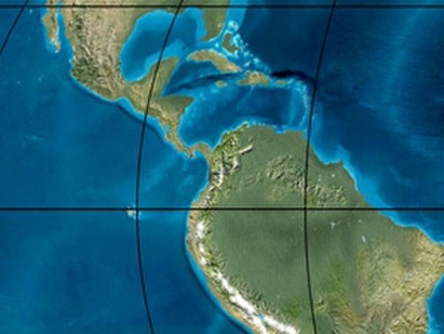
Image: Blakey Pleist COL
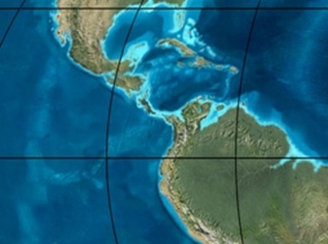
Image: Blakey 020Ma COL
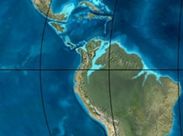
Image: Blakey 035Ma COL
Arcabuco is a town and municipality in the Ricaurte Province, part of the Colombian Department of Boyacá. Arcabuco is situated on the Altiplano Cundiboyacense with the urban centre at an altitude of 2,739 metres (8,986 ft). The municipality borders Moniquirá and Gámbita in the north, Villa de Leyva and Chíquiza in the south, Cómbita in the east and Gachantivá and Villa de Leyva in the west. The department capital Tunja is 34 kilometres (21 mi) to the south.
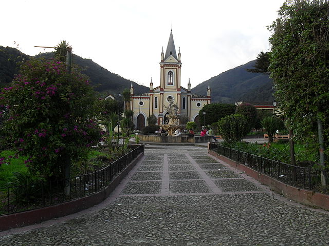
Central square and church of Arcabuco
Church of Arcabuco
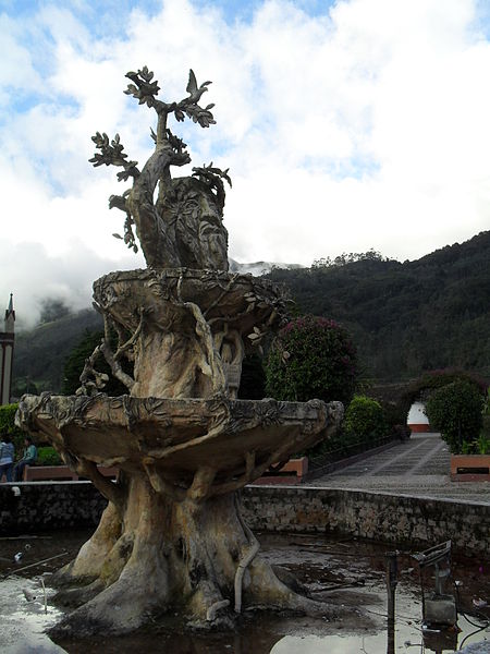
Sculpture in Arcabuco
Monument in Arcabuco