Arizona State Route 93
Videos
Page
Arizona State Route 93, abbreviated SR 93, was a state highway in Arizona that existed from 1946 to 1991. The route was co-signed with other highways along nearly all of its route from Kingman to the border at Nogales. SR 93 was the original designation for the highway from Kingman to Wickenburg, which was built in 1946. In 1965, the northern terminus of the state route was moved south to an unnamed desert junction with U.S. Route 89 just north of Wickenburg, and the southern terminus of U.S. Route 93 was moved south to the US 89 junction. The Arizona Highway Department sought U.S. Highway status for SR 93 across the rest of the state, but the proposal was never granted by AASHTO. On December 17, 1984, the SR 93 designation was removed south of the Grand Avenue/Van Buren Street/7th Avenue intersection in Phoenix. The route was completely decommissioned in 1991.
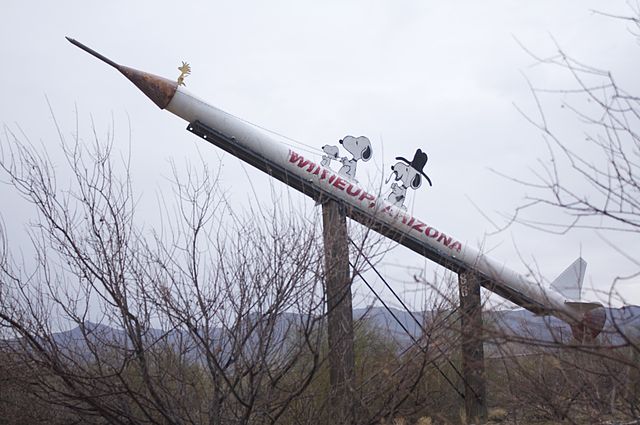
Welcome sign for Wikieup on former SR 93, now US 93.
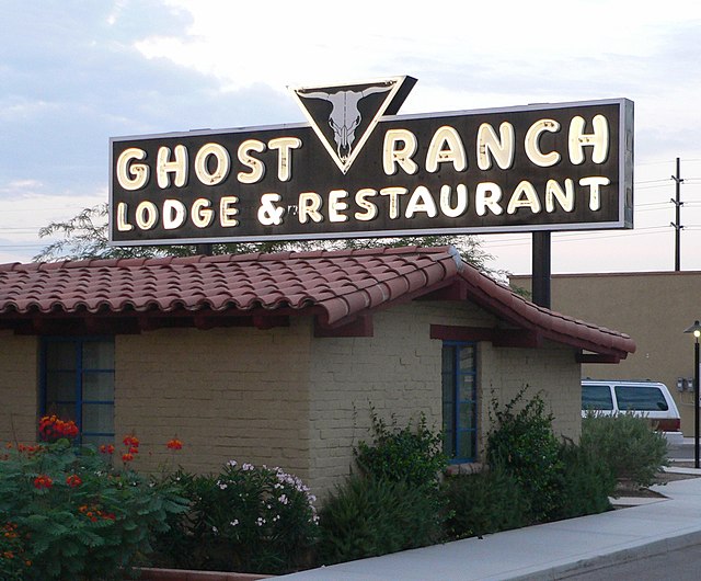
Ghost Ranch Lodge on former SR 84/SR 93 in Tucson. The sign was designed by artist Georgia O'Keeffe.
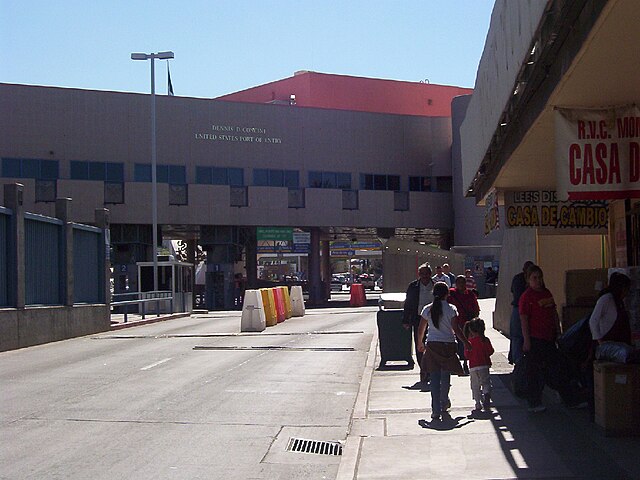
Grand Avenue border gate in Nogales. Southern terminus of SR 93.
U.S. Route 93 in Arizona
Videos
Page
U.S. Route 93 (US 93) is a United States Numbered Highway in the state of Arizona that begins in Wickenburg and heads north to the Nevada state line at the Mike O'Callaghan–Pat Tillman Memorial Bridge. The total length of US 93 in Arizona is 199.38 miles. Between Wickenburg and Interstate 40 (I-40), part of US 93 is designated as the Joshua Forest Scenic Byway. While most of US 93 is a four-lane divided highway, sections of the highway between Wickenburg and I-40 are still narrow two-lane roads, gradually being upgraded to match the rest of the route. As part of a proposal by municipal leaders in Nevada and Arizona, the highway could be replaced by Interstate 11 (I-11).
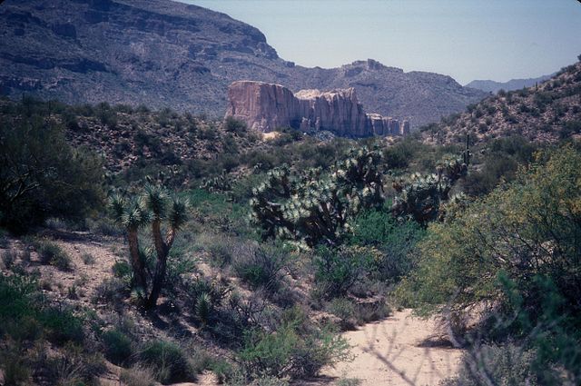
Joshua Forest Parkway in Yavapai County northwest of Wickenburg in 2007

Looking north above old US 93 as it crosses over Hoover Dam into Nevada in 2005