Highway 164 is a designation for four segments of state highway in the Arkansas River Valley. Each are low-volume local roads providing connectivity to small communities, or recreation areas near the Ozark National Forest. The first segment was created in 1945, with the remaining segments created during the late 1950s and 1960s, a period of major Arkansas Highway System expansion. A single spur route provides access to an industrial area in Clarksville. All routes are maintained by the Arkansas Department of Transportation (ArDOT).
AR 164 southern terminus at US 64 in Coal Hill. Mount Magazine can be seen in the background
U.S. Route 64 in Arkansas
U.S. Route 64 is a U.S. highway running from Teec Nos Pos, Arizona east to Nags Head, North Carolina. In the U.S. state of Arkansas, the route runs 246.35 miles (396.46 km) from the Oklahoma border in Fort Smith east to the Tennessee border in Memphis. The route passes through several cities and towns, including Fort Smith, Clarksville, Russellville, Conway, Searcy, and West Memphis. US 64 runs parallel to Interstate 40 until Conway, when I-40 takes a more southerly route.
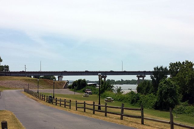
Bridge carrying US 64 over the Arkansas River in Van Buren
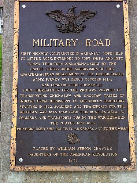
Historic Marker in Marion for the Trail of Tears at intersection of US 64 and AR 77
US 64 runs near Altus.
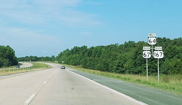
US 64 is concurrent with US 67 and US 167 between Beebe and Bald Knob.


