Highway 7 is a north–south state highway that runs across the state of Arkansas. As Arkansas's longest state highway, the route runs 297.27 miles (478.41 km) from Louisiana Highway 558 at the Louisiana state line north to Bull Shoals Lake at Diamond City near the Missouri state line. With the exception of the segment north of Harrison, Highway 7 has been designated as an Arkansas Scenic Byway and a National Forest Scenic Byway. The road passes through the heart of both the Ozark Mountains and the Ouachita Mountains, and features scenic views. It's the route favored by motorcycle riders touring the region.
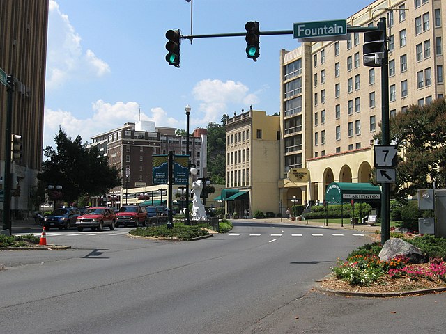
Arkansas Highway 7 in historic Hot Springs National Park.
The city of Harrison is the county seat of Boone County, Arkansas, United States. It is named after Marcus LaRue Harrison, a surveyor who laid out the city along Crooked Creek at Stifler Springs. According to 2019 Census Bureau estimates, the population of the city was 13,069, up from 12,943 at the 2010 census and it is the 30th largest city in Arkansas based on official 2019 estimates from the U.S. Census Bureau. Harrison is the principal city of the Harrison Micropolitan Statistical Area, which includes all of Boone and Newton counties.
Historic downtown Harrison
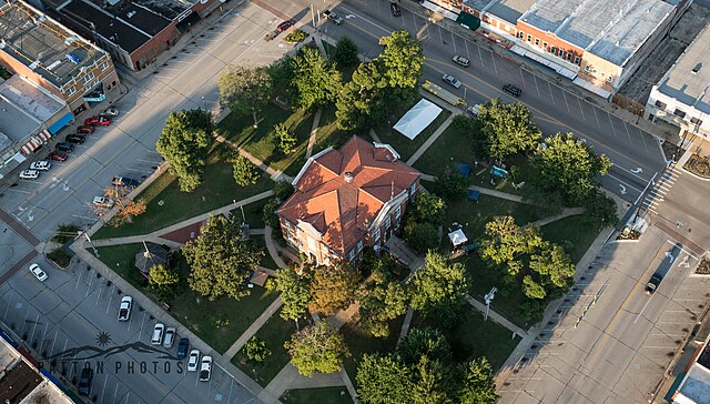
Harrison Courthouse Square, listed in the National Register of Historic Places
Peace March in Harrison in 2017
Lake Harrison Park and downtown Harrison viewed from a hot air balloon during the Balloon Festival