Asaka is a city located in Saitama Prefecture, Japan. As of 1 January 2021, the city had an estimated population of 143,195 and a population density of 7800 persons per km2. The total area of the city is 18.34 square kilometres (7.08 sq mi).
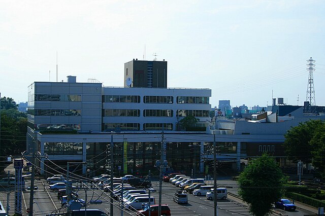
Asaka City Hall
Pond at JGSDF Camp Asaka
former IJA Officer Preparatory School at JGSDF Camp Asaka
Saitama Prefecture is a landlocked prefecture of Japan located in the Kantō region of Honshu. Saitama Prefecture has a population of 7,338,536 and has a geographic area of 3,797 km2. Saitama Prefecture borders Tochigi Prefecture and Gunma Prefecture to the north, Nagano Prefecture to the west, Yamanashi Prefecture to the southwest, Tokyo to the south, Chiba Prefecture to the southeast, and Ibaraki Prefecture to the northeast.
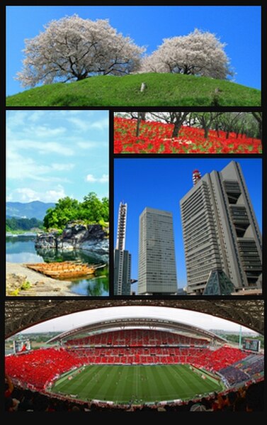
Saitama Prefecture
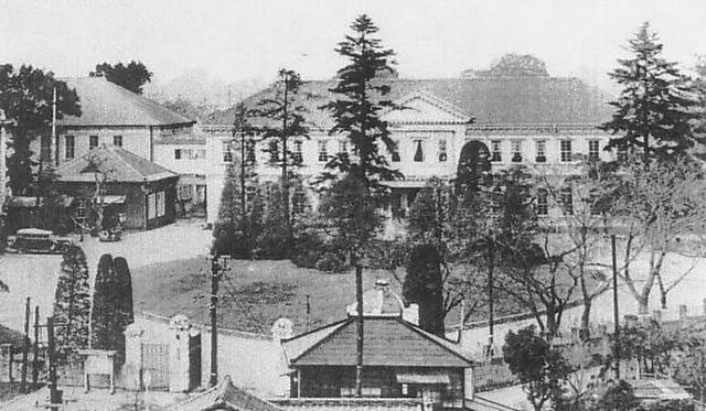
The prefectural government building of Saitama in the early 20th century
The current prefectural government [main] building in Saitama City
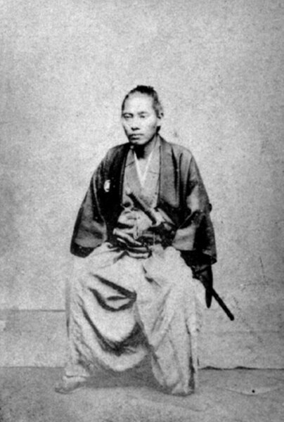
Nomura Morihide, a samurai from Satsuma Domain which had won the Boshin War to take over government together with its allies in the Meiji Restoration, briefly became the first governor (called kenrei in the first decades) of Saitama in 1871. The first Saitama native to take the office was the 43rd governor, Yūichi Ōsawa in 1949.


![The current prefectural government [main] building in Saitama City](https://upload.wikimedia.org/wikipedia/commons/thumb/4/45/%E5%9F%BC%E7%8E%89%E7%9C%8C%E5%BA%81%E8%88%8E.JPG/640px-%E5%9F%BC%E7%8E%89%E7%9C%8C%E5%BA%81%E8%88%8E.JPG)