Atchafalaya River
Videos
The Atchafalaya River is a 137-mile-long distributary of the Mississippi River and Red River in south central Louisiana in the United States. It flows south, just west of the Mississippi River, and is

Atchafalaya River delta on the Gulf of Mexico; view upriver to the northwest.

Atchafalaya Basin Sherburne Complex Wildlife Management Area

Formation of the Atchafalaya River and construction of the Old River Control Structure

Two egrets on the limbs of a cypress in the Atchafalaya flood basin
Mississippi River
Videos
The Mississippi River is the primary river of the largest drainage basin in the United States. It is the second-longest river in the United States, behind only the Missouri. From its traditional sourc
Atchafalaya River
…The Atchafalaya River () is a 137-mile-long (220 km) distributary of the Mississippi River and Red River in south central Louisiana in the United States. It flows south, just west of the Mississippi River, and is the fifth largest river in…
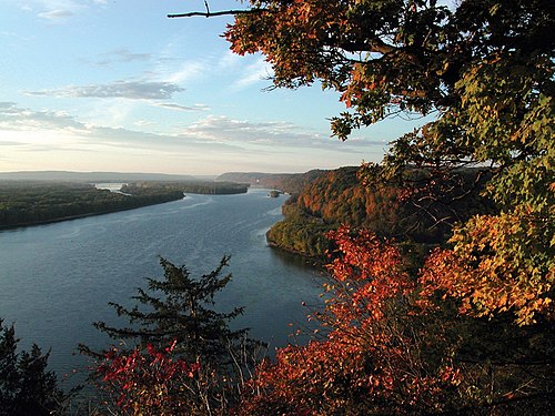

The source of the Mississippi River at Lake Itasca

The first bridge (and only log bridge) over the Mississippi, about 25 feet south of its source at Lake Itasca

De facto head of navigation, St. Anthony Falls, Minneapolis, Minnesota