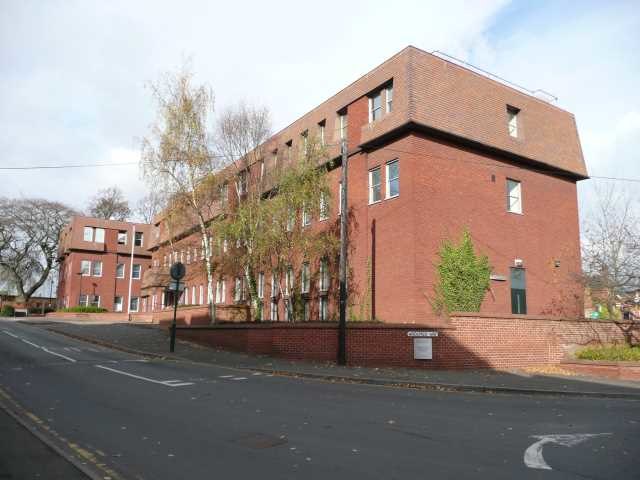
Atherstone is a market town and civil parish in the North Warwickshire district of Warwickshire, England. Located in the far north of the county, Atherstone is on the A5 national route, and is adjacent to the border with Leicestershire which is here formed by the River Anker. It is situated between the towns of Tamworth and Nuneaton. Atherstone is the administrative centre of the North Warwickshire district, with the offices of North Warwickshire Borough Council located in the town.
Atherstone Market Square, looking towards St Mary's Church
St Mary's Church
Long Street: Atherstone's main shopping street in the centre of the town, and also the historic route of Watling Street
Atherstone railway station.
North Warwickshire is a local government district with borough status in Warwickshire, England. The borough includes the two towns of Atherstone and Coleshill, and the large villages of Polesworth, Kingsbury, Hartshill and Water Orton along with smaller villages and surrounding rural areas.
Atherstone, the administrative centre of the borough and one of the two towns
North Warwickshire
Coleshill, the other town of the borough