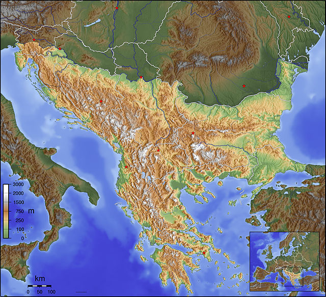
The Balkans, corresponding partially with the Balkan Peninsula, is a geographical area in southeastern Europe with various geographical and historical definitions. The region takes its name from the Balkan Mountains that stretch throughout the whole of Bulgaria. The Balkan Peninsula is bordered by the Adriatic Sea in the northwest, the Ionian Sea in the southwest, the Aegean Sea in the south, the Turkish straits in the east, and the Black Sea in the northeast. The northern border of the peninsula is variously defined. The highest point of the Balkans is Musala, 2,925 metres (9,596 ft), in the Rila mountain range, Bulgaria.
A definition of the Balkan Peninsula from 1918 largely according to Jovan Cvijić with the north-west demarcation Soča-Vipava-Postojna-Krka-Sava, i.e. the border between the Alps and the Dinaric Mountains
View toward Rila, the highest mountain range of the Balkans and Southeast Europe (2,925 m)
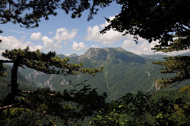
Sutjeska National Park contains Perućica, which is the largest primeval forest in the Balkans, and one of the last remaining in Europe
Lake Skadar is the largest lake in the Balkans and Southern Europe
The Balkan mountain range is a mountain range in the eastern part of the Balkan Peninsula in Southeastern Europe. The range is conventionally taken to begin at the peak of Vrashka Chuka on the border between Bulgaria and Serbia. It then runs for about 560 kilometres (350 mi), first in a south-easterly direction along the border, then eastward across Bulgaria, forming a natural barrier between the northern and southern halves of the country, before finally reaching the Black Sea at Cape Emine. The mountains reach their highest point with Botev Peak at 2,376 metres (7,795 ft).
A view from Kom Peak in western Bulgaria
Balkan Mountains, Rhodope, Rila and Pirin Mountains
A view of the Balkan Mountains
The monument on Shipka


