Banaba is an island of Kiribati in the Pacific Ocean. A solitary raised coral island west of the Gilbert Island Chain, it is the westernmost point of Kiribati, lying 185 miles (298 km) east of Nauru, which is also its nearest neighbour. It has an area of six square kilometres (2.3 sq mi), and the highest point on the island is also the highest point in Kiribati, at 81 metres (266 ft) in height. Along with Nauru and Makatea, it is one of the important elevated phosphate-rich islands of the Pacific.
Royal Australian Air Force image of Ocean Island (Banaba), 1945, with the extensive impact of phosphate mining visible at the centre of the island
Kiribati, officially the Republic of Kiribati, is an island country in the Micronesia subregion of Oceania in the central Pacific Ocean. Its permanent population is over 119,000 as of the 2020 census, with more than half living on Tarawa atoll. The state comprises 32 atolls and one remote raised coral island, Banaba. Its total land area is 811 km2 (313 sq mi) dispersed over 3,441,810 km2 (1,328,890 sq mi) of ocean.
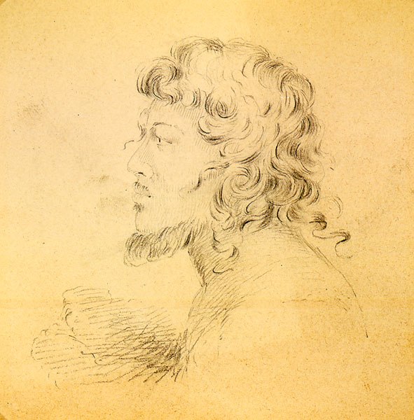
Portrait of a native of the Makin Islands, drawn by Alfred Thomas Agate (1841)
Declaration of a protectorate on Abemama by Captain EHM Davis, 27 May 1892
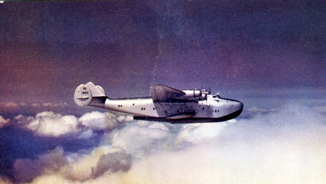
Boeing 314 Clipper in cruise, 1940
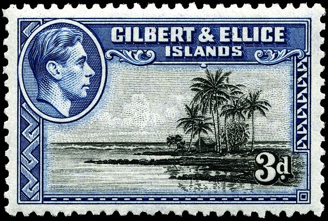
Stamp with portrait of King George VI, 1939


