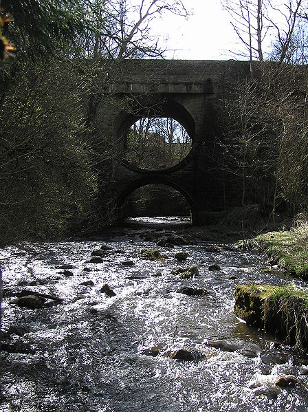
The Bannock Burn is a stream which rises at about 1,300 feet (400 m) on Touchadam Moor, NS715891, just to the north of Earl's Hill in the Touch Hills to the south-west of Stirling in central Scotland. The Bannock flows eastward and enters the River Forth to the east of Stirling, close to the site of the Battle of Bannockburn (1314), about 7.58 miles (12.20 km) from its source. The burn itself meanders and is considerably longer. A nearby town, nowadays a suburb of Stirling, is accordingly called Bannockburn.
The Bannock Burn flowing under Thomas Telford's bridge in Bannockburn
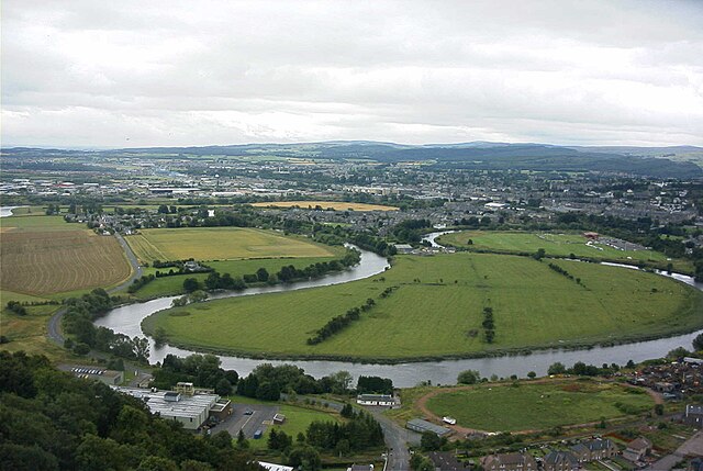
The River Forth is a major river in central Scotland, 47 km (29 mi) long, which drains into the North Sea on the east coast of the country. Its drainage basin covers much of Stirlingshire in Scotland's Central Belt. The Gaelic name for the upper reach of the river, above Stirling, is Abhainn Dubh, meaning "black river". The name for the river below the tidal reach is Uisge For.
The River Forth meanders through fertile farmlands near Stirling
The meandering Forth viewed from the Wallace Monument. The river flows from right to left, and the former limit of navigation was in the left distance.
River Forth passing Cambus, Tullibody Inch, and Alloa Inch. Beyond that Alloa and Kincardine. The water is known as the Firth of Forth beyond the Clackmannanshire and Kincardine bridges although the transition point is unclear.


