Baramulla district or Varmul is one of the 20 districts in the Indian-administered union territory of Jammu and Kashmir in the disputed Kashmir region. Baramulla town is the administrative headquarters of this district. The district covered an area of 4,588 km2 (1,771 sq mi) in 2001, but it was reduced to 4,243 km2 (1,638 sq mi) at the time of 2011 census. In 2016, the district administration said that the area was 4,190 km2 (1,620 sq mi). Muslims constitute about 98% of the population.
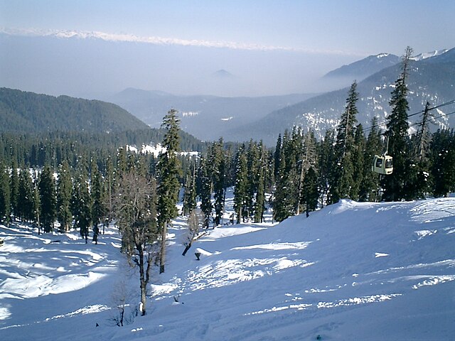
Gulmarg ski resort in Baramulla district, Jammu and Kashmir, India
Baramulla district lies in the Kashmir division (neon blue) of the Indian-administered Jammu and Kashmir (shaded tan) in the disputed Kashmir region.
Baramulla, also known as Varmul in Kashmiri, is a city and municipality of the Baramulla district of the Indian-administered Jammu and Kashmir in the disputed Kashmir region. It is also the administrative headquarters of the Baramulla district, located on the banks of the River Jhelum downstream from Srinagar, the summer capital of Jammu and Kashmir. The town is known as gateway of Kashmir, serving as the major distribution centre for goods arriving in Kashmir valley through the Jhelum valley cart road.
Baramulla School in Baramulla, Jammu & Kashmir
Baramulla lies in the Kashmir division (neon blue) of the Indian-administered Jammu and Kashmir (shaded tan) in the disputed Kashmir region.
This general view of the unexcavated Buddhist stupa near Baramulla, with two figures standing on the summit, and another at the base with measuring scales, was taken by John Burke in 1868. The stupa, which was later excavated, dates to 500 CE.
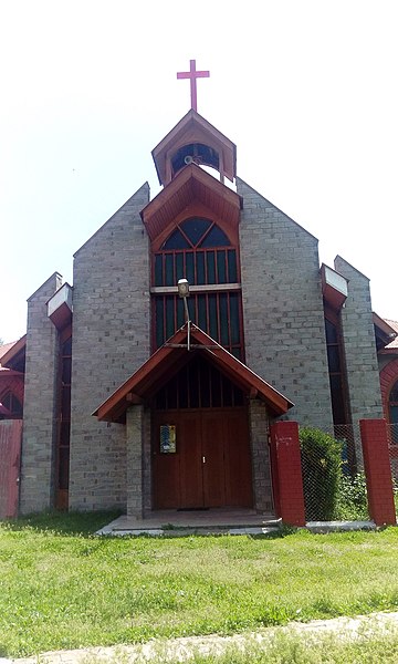
St. Joseph Catholic Church, Baramulla