Battery Park City is a mainly residential 92-acre (37 ha) planned community and neighborhood on the west side of the southern tip of the island of Manhattan in New York City. It is bounded by the Hudson River on the west, the Hudson River shoreline on the north and south, and the West Side Highway on the east. The neighborhood is named for the Battery, formerly known as Battery Park, located directly to the south.
Apartment buildings in Battery Park City, with One World Trade Center visible
Greenery at South Cove
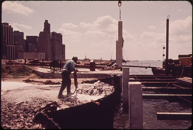
Construction in May 1973
The esplanade
The Joe DiMaggio Highway, commonly called the West Side Highway and formerly the Miller Highway, is a 5.42-mile-long (8.72 km) mostly surface section of New York State Route 9A (NY 9A), running from West 72nd Street along the Hudson River to the southern tip of Manhattan in New York City. It replaced the West Side Elevated Highway, built between 1929 and 1951, which was shut down in 1973 due to neglect and lack of maintenance, and was dismantled by 1989. North of 72nd Street the roadway continues north as the Henry Hudson Parkway.
View from One World Trade Center
Beginning of West Street and the West Side Highway starting from the Battery Park Underpass
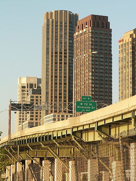
The last elevated portion of the West Side Highway by the Riverside South apartment complex
Former elevated highway, looking north at the Chambers Street ramps


