The Baw Baw National Park is a national park located on the boundary between the Victorian Alps and Gippsland regions of Victoria, Australia. The 13,530-hectare (33,400-acre) national park is situated approximately 120 kilometres (75 mi) east of Melbourne and 50 kilometres (31 mi) north of the Latrobe Valley. The park contains the forest covered Baw-Baw Plateau and surrounds the Mount Baw Baw Alpine Resort.
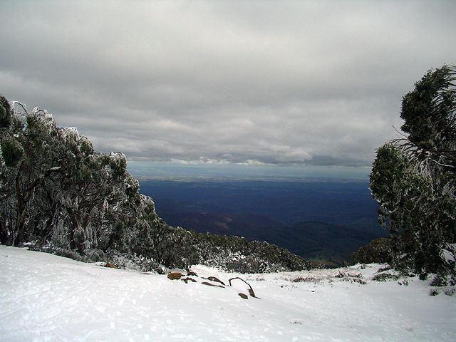
The view from Mount Baw Baw looking east across the Gippsland, in autumn 2006.
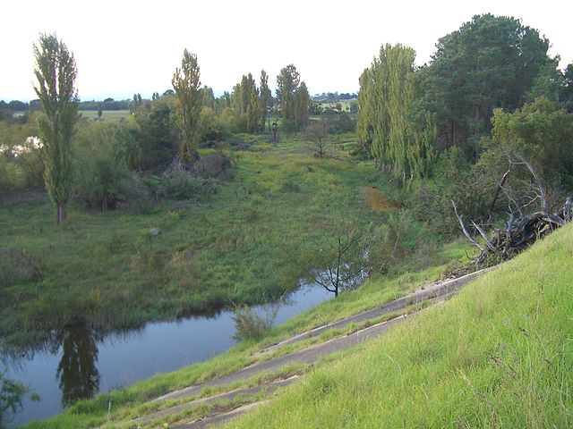
Aberfeldy River, Baw Baw National Park
Gippsland is a rural region that makes up the southeastern part of Victoria, Australia, mostly comprising the coastal plains to the rainward (southern) side of the Victorian Alps. It covers an elongated area of 41,556 km2 (16,045 sq mi) located further east of the Shire of Cardinia between Dandenong Ranges and Mornington Peninsula, and is bounded to the north by the mountain ranges and plateaus/highlands of the High Country, to the southwest by the Western Port Bay, to the south and east by the Bass Strait and the Tasman Sea, and to the east and northeast by the Black–Allan Line.
John Longstaff's Gippsland, Sunday night, 20 February 1898, depicting the "Red Tuesday" bushfires that ravaged Gippsland
Old growth forests in East Gippsland
On the Avon River near Stratford
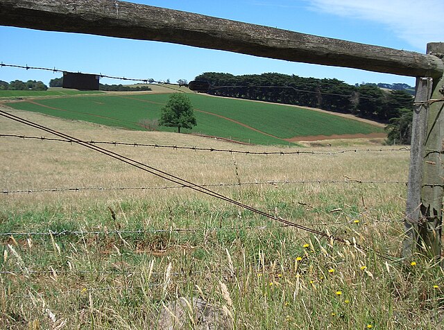
Potato farming in the Thorpdale region