Bayt ʿIṭāb was a Palestinian Arab village located in the Jerusalem Subdistrict. The village is believed to have been inhabited since the biblical period. An ancient tunnel which led to the village spring is associated with the story of Samson. Both during and after its incorporation into Crusader fiefdoms in the 12th century, its population was Arab. Sheikhs from the Lahham family clan, who were associated with the Qays tribo-political faction, ruled the village during Ottoman era. In the 19th century, this clan controlled 24 villages in the vicinity. The homes were built of stone. The local farmers cultivated cereals, fruit trees and olive groves and some engaged in livestock breeding.
Bayt 'Itab
Crusader ruins at Bayt Itab.
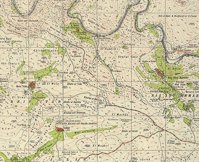
Bayt 'Itab, Mandate survey, 1:20,000
Bayt 'Itab, 1945, 1:20,000
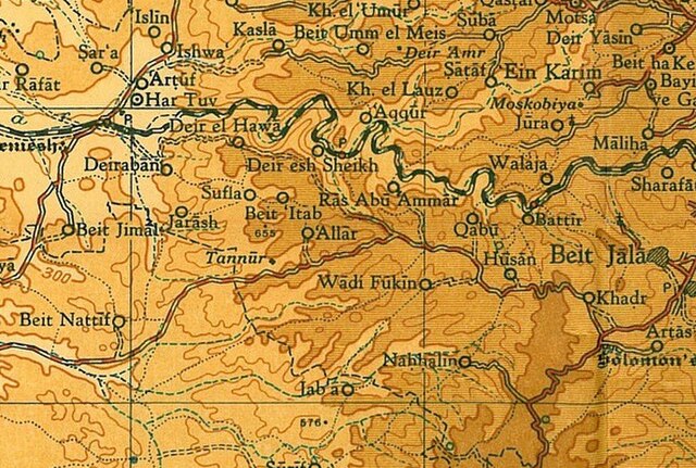
Jerusalem Subdistrict, Mandatory Palestine
The Jerusalem Subdistrict was one of the subdistricts of Mandatory Palestine. It was located in and around the city of Jerusalem. After the 1948 Arab–Israeli War, on the Israeli side of the Green Line, the district was integrated into the Jerusalem District. On the other side, the West Bank was annexed into Jordan, the subdistrict was merged with Ramallah Subdistrict to form Jerusalem Governorate, one of three Jordanian governorates in the West Bank.
William McLean's 1918 plan was the first urban planning scheme for Jerusalem. It laid the foundations for what became West Jerusalem and East Jerusalem.
Jerusalem on VE Day, 8 May 1945.
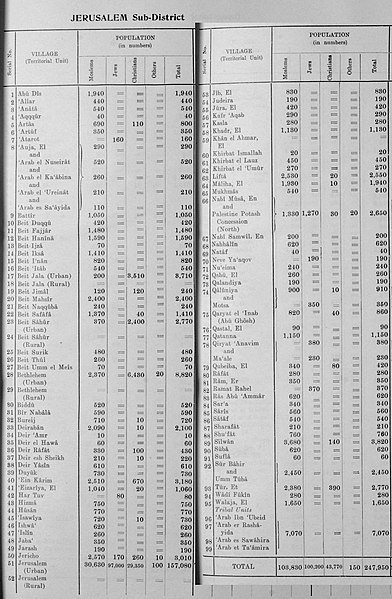
Official population statistics for the sub-district, from Village Statistics, 1945.


