The Belfort Gap or Burgundian Gate is the area of relatively flat terrain in Eastern France between the Vosges Mountains to the north and the Jura Mountains to the south. It marks the watershed between the drainage basins of the River Rhine to the east and the River Rhône to the west, part of the European Watershed between the North Sea and the Mediterranean Sea. It is also the boundary between the historic regions of Burgundy to the west and Alsace to the east, and as such has marked the Franco-German border for long periods of its history.
View south from Offemont, across the Belfort Gap toward the Jura.
The Belfort Gap (in the southwest) and the other regions of Alsace.
The Vosges are a range of medium mountains in Eastern France, near its border with Germany. Together with the Palatine Forest to the north on the German side of the border, they form a single geomorphological unit and low mountain range of around 8,000 km2 (3,100 sq mi) in area. It runs in a north-northeast direction from the Burgundian Gate to the Börrstadt Basin, and forms the western boundary of the Upper Rhine Plain.
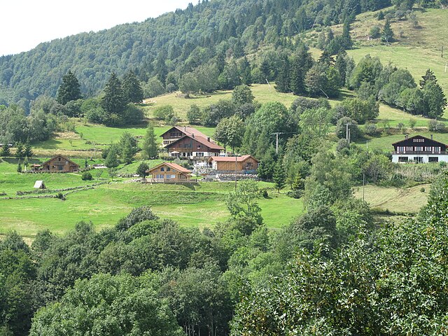
Bussang, a commune in the Vosges with a population of about 1,600
Grand Ballon
Storkenkopf
Kastelberg


