Bellarine Peninsula
Videos
The Bellarine Peninsula is a peninsula located south-west of Melbourne in Victoria, Australia, surrounded by Port Phillip, Corio Bay and Bass Strait. The peninsula, together with the Mornington Peninsula, separates Port Phillip Bay from Bass Strait. The peninsula itself was originally occupied by Indigenous Australian clans of the Wadawurrung nation, prior to European settlement in the early 19th century. Early European settlements were initially centred on wheat and grain agriculture, before the area became a popular tourist destination with most visitors arriving by paddle steamer on Port Phillip in the late 19th century.

Aerial perspective of Barwon Heads Bridge

Ocean Grove beach on Bass Strait

The wreck of the Ozone, offshore at Indented Head.
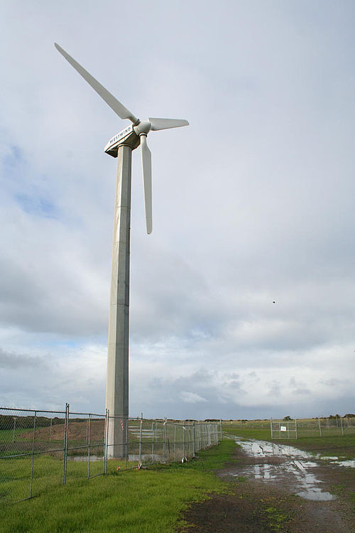
Wind generator at Breamlea, built 1987, photo taken in 2007
Mornington Peninsula
Videos
The Mornington Peninsula is a peninsula located south of Melbourne, Victoria, Australia. It is surrounded by Port Phillip to the west, Western Port to the east and Bass Strait to the south, and is connected to the mainland in the north. Geographically, the peninsula begins its protrusion from the mainland in the area between Pearcedale and an area north of Frankston. The area was originally home to the Mayone-bulluk and Boonwurrung-Balluk clans, and formed part of the Boonwurrung nation's territory prior to European settlement.

Military ruins on Point Nepean

A beach on the Mornington Peninsula

Aerial panorama of Sorrento. March 2023

Aerial panorama of Sorrento with the SeaRoad ferry and Sorrento Pier. March 2023.