Birch Cliff is a neighbourhood in Toronto, Ontario, Canada. It is located in the eastern part of the city, part of the district of Scarborough running along the shore of Lake Ontario atop the western part of the Scarborough Bluffs. Birch Cliff has a large Irish population. About one-third of Birch Cliff residents are of Irish origin.
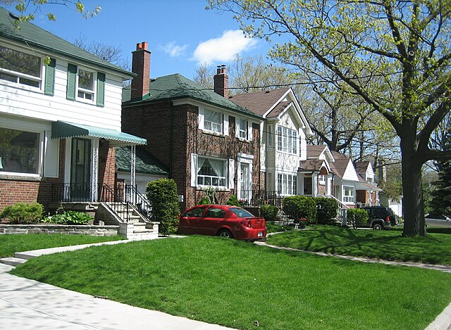
A group of houses in the Birch Cliff neighbourhood
The R. C. Harris Water Treatment Plant was completed in Birch Cliff in 1941.
Birchmount Park Collegiate Institute is one of two public secondary school located in Birch Cliff.
Water feature in Rosetta McClain Gardens, a municipal park in Birch Cliff.
Scarborough is a district of Toronto, Ontario, Canada. It is situated atop the Scarborough Bluffs in the eastern part of the city. Its borders are Victoria Park Avenue to the west, Steeles Avenue and the city of Markham to the north, Rouge River and the city of Pickering to the east, and Lake Ontario to the south. Scarborough was named after the English town of Scarborough, North Yorkshire, inspired by its cliffs.
Coat of arms
Image: Scarborough City Centre
Image: Scarborough Bluffs Laslovarga (45)
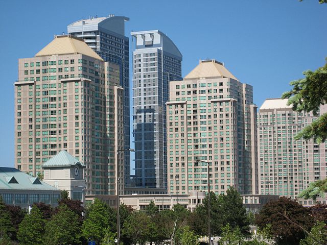
A number of high-rise and condominiums were built around Scarborough City Centre in the late-20th to early-21st century.