Blaby District
Videos
Photos
Blaby is a local government district in Leicestershire, England. The district is named after the village of Blaby, although the council is based in Narborough. The district covers an area lying south-west of the city of Leicester. Several of the district's settlements form part of the wider Leicester Urban Area, including Glenfield, where Leicestershire County Council has its headquarters at County Hall, and the town of Braunstone.

Blaby, the village which the district is named after although Narborough is the administrative centre of the district.

Blaby District

Fosse Shopping Park entrance
Leicestershire
Videos
Photos
Leicestershire is a ceremonial county in the East Midlands of England. It is bordered by Derbyshire, Nottinghamshire, and Lincolnshire to the north, Rutland to the east, Northamptonshire to the south-east, Warwickshire to the south-west, and Staffordshire to the west. The city of Leicester is the largest settlement and the county town.

Image: Belvoir Castle geograph.org.uk 2483304
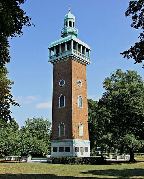
Image: Loughborough Carillon geograph.org.uk 4228475

Image: River Soar near Rothley, Leicestershire geograph.org.uk 3635324

A field of sheep near Stoke Golding