Blair Atholl is a village in Perthshire, Scotland, built about the confluence of the Rivers Tilt and Garry in one of the few areas of flat land in the midst of the Grampian Mountains. The Gaelic place-name Blair, from blàr, 'field, plain', refers to this location. Atholl, which means 'new Ireland', from the archaic Ath Fhodla is the name of the surrounding district.
Blair Atholl Post Office
Blair Atholl Jamborette, 2004
Perthshire, officially the County of Perth, is a historic county and registration county in central Scotland. Geographically it extends from Strathmore in the east, to the Pass of Drumochter in the north, Rannoch Moor and Ben Lui in the west, and Aberfoyle in the south; it borders the counties of Inverness-shire and Aberdeenshire to the north, Angus to the east, Fife, Kinross-shire, Clackmannanshire, Stirlingshire and Dunbartonshire to the south and Argyllshire to the west. It was a local government county from 1890 to 1930.
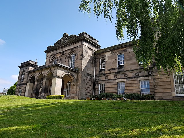
County Offices in York Place, the former headquarters of Perth County Council
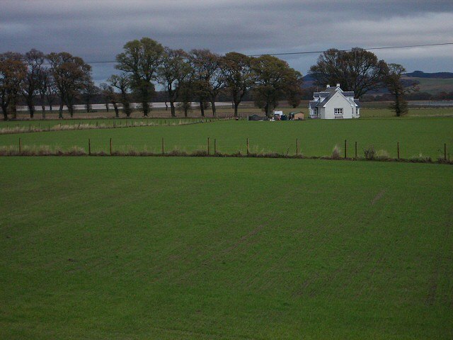
The uncharacteristically flat lands of the Carse of Gowrie
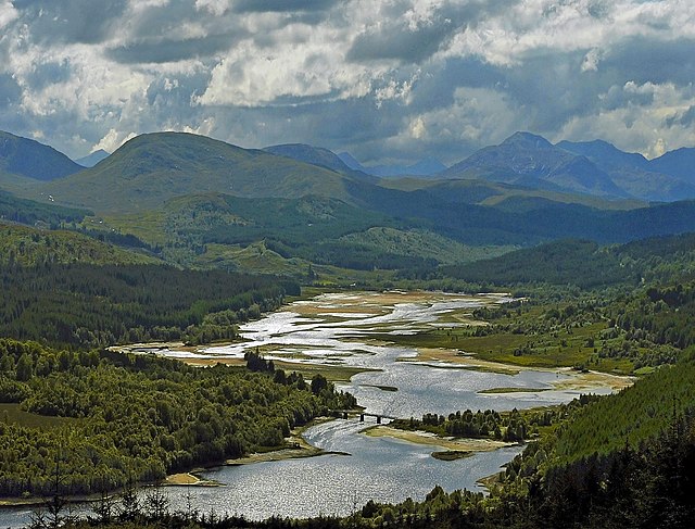
Typical Perthshire scenery around Loch Garry
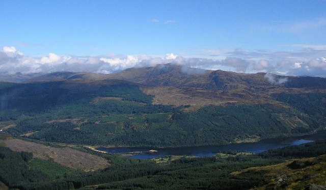
Ben Vorlich rising above Loch Lubnaig