The Martha Layne Collins Blue Grass Parkway is a freeway running from Elizabethtown, Kentucky to Woodford County, Kentucky, for a length of 71.134 miles (114.479 km). It intersects with Interstate 65 at its western terminus, and U.S. Route 60 at its eastern terminus. It is one of seven highways that are part of the Kentucky parkway system. The road is designated unsigned Kentucky Route 9002. It is constructed similar to the Interstate Highway system, though sections do not measure up to current Interstate standards.
Westbound Bluegrass Parkway near Bardstown
Elizabethtown is a home rule-class city and the county seat of Hardin County, Kentucky, United States. The population was 28,531 at the 2010 census, and was estimated at 31,394 by the U.S. Census Bureau in 2020, making it the 11th-largest city in the state. It is included in the Elizabethtown–Fort Knox, Kentucky Metropolitan Statistical Area, which is included in the Louisville/Jefferson County–Elizabethtown–Madison, Kentucky-Indiana Combined Statistical Area. The Elizabethtown Metropolitan area had a 2019 estimated population of 153,057, making it the 5th-largest metropolitan area in the state.
Hardin County Old Courthouse in downtown Elizabethtown
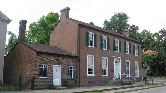
The Brown Pusey House
The Samuel B. Thomas House
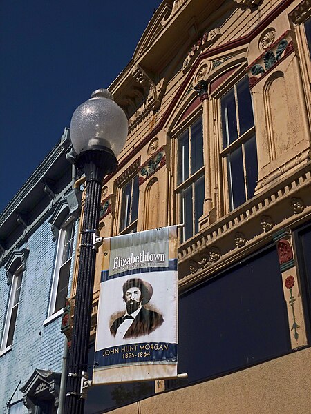
A banner remembers John Hunt Morgan's role in the history of Elizabethtown, KY. A Confederate cannonball is imbedded in the blue building at left (the ball is visible just below and to the left of the nearest second-story window).


