Borough of Ashford
Videos
Photos
The Borough of Ashford is a local government district with borough status in Kent, England. It is named after its largest town, Ashford, where the council is based. The borough also includes the town of Tenterden and an extensive surrounding rural area including numerous villages; with an area of 580 square kilometres (220 sq mi), it is the largest district in Kent. Parts of the borough lie within the designated Areas of Outstanding Natural Beauty of High Weald and the Kent Downs.

Aerial view of Ashford Designer Outlet

Borough of Ashford

International House: Council's proposed headquarters

Village sign along the Greensand Way in Ashford borough
Ashford, Kent
Videos
Photos
Ashford is a town in the Ashford district, in the county of Kent, England. It lies on the River Great Stour at the southern or scarp edge of the North Downs, about 61 miles (98 km) by road southeast of central London and 15 miles (24 km) northwest of Folkestone by road. At the 2021 census, it had a population of 83,213. The name comes from the Old English æscet, indicating a ford near a clump of ash trees. It has been a market town since the Middle Ages, and a regular market continues to be held.

High Street, Ashford, in February 2012

Ashford Market in 1975. A market had been based here since 1856.
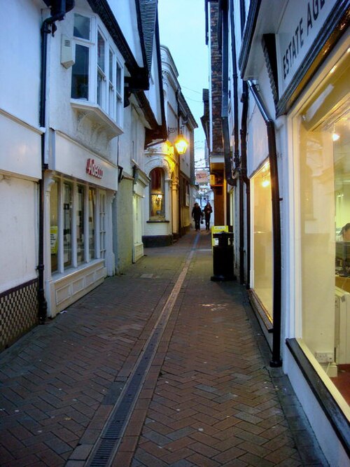
Old buildings in Middle Row

The population growth of the Ashford Borough