Boswell, Pennsylvania
Videos
Boswell is a borough in Somerset County, Pennsylvania, United States. It is part of the Johnstown, Pennsylvania Metropolitan Statistical Area. The population was 1,221 at the 2020 census.
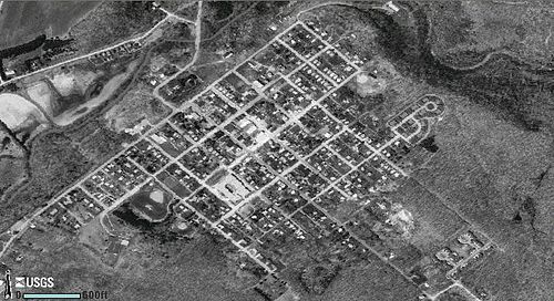
USGS satellite photograph of Boswell

Aerial view of Boswell and vicinity, May 12, 1939. Photograph was taken six weeks after the mine closed permanently. Note the coal tipple just outside the town, which was dismantled in 1940.

A view of Boswell's mining operation in its prime: The coal tipple can be seen crossing the left side of the photograph. Near the center-left is the steam engine that pulled the cars on the tipple. In the center is the power plant with its three smokestacks. The railroad tracks that ran through town can be seen in the center of the photograph. The foreman's home is seen on the far right of the panorama.

Aerial view of Boswell and vicinity, Sept. 12, 1967.
Pennsylvania Route 601
Videos
Pennsylvania Route 601 is a 26.6-mile-long (42.8 km) state highway located in Somerset County, Pennsylvania. The southern terminus is at PA 31/PA 281 in Somerset. The northern terminus is at PA 56 in Paint.

PA 601 northbound past ramp to US 219 in Somerset Township

PA 601 Truck following PA 281 in Somerset.