Bourne Eau is a short river which rises from an artesian spring in the town of Bourne in Lincolnshire, England, and flows in an easterly direction to join the River Glen at Tongue End. Within the town, it once powered three water mills, one of which is now a heritage centre. At Eastgate, it becomes much wider as it was navigable in the 18th and 19th centuries, and this was the location of the terminal basin. Below the town it is an embanked river, as its normal level is higher than that of the surrounding Fens. Navigation ceased in the 1860s and the river now forms an important part of the drainage system that enables the surrounding fen land to be used for agriculture.
Bourne Eau outside the Abbey Church at Bourne. The iron bridge is dated 1832.
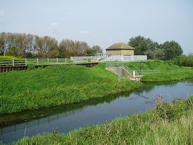
The pumping station at Tongue End, which replaced the former sluice between Bourne Eau and the River Glen.
The pumping station for the South Fen. The buildings carry the dates 1946 (left) and 1976 (right).
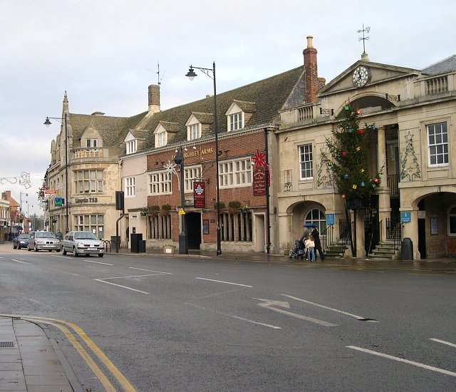
Bourne is a market town and civil parish in the South Kesteven district of Lincolnshire, England. It lies on the eastern slopes of the limestone Kesteven Uplands and the western edge of the Fens, 11 miles (18 km) north-east of Stamford, 12 miles (19 km) west of Spalding and 17 miles (27 km) north of Peterborough. The population at the 2011 census was 14,456. A 2019 estimate put it at 16,780.
Bourne town centre
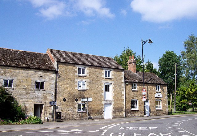
Baldock's Mill heritage centre
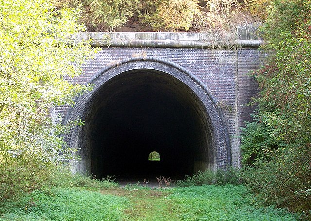
Toft Tunnel
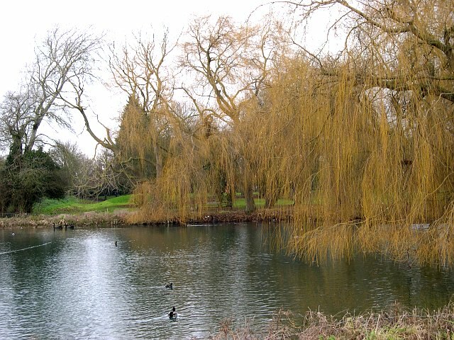
St. Peters' Pool, Wellhead Gardens. The pool referred to in the town's founding legend