Bridger–Teton National Forest
Bridger–Teton National Forest is located in western Wyoming, United States. The forest consists of 3.4 million acres, making it the third largest National Forest outside Alaska. The forest stretches from Yellowstone National Park, along the eastern boundary of Grand Teton National Park and from there rides along the western slope of the Continental Divide to the southern end of the Wind River Range. The forest also extends southward encompassing the Salt River Range and Wyoming Range mountains near the Idaho border.
Green Lakes region of Bridger–Teton National Forest
Moonrise over Sleeping Indian Peak Bridger–Teton National Forest
Bridger–Teton National Forest headquarters in Jackson, Wyoming
Cook Lake
Grand Teton National Park
Grand Teton National Park is an American national park in northwestern Wyoming. At approximately 310,000 acres (1,300 km2), the park includes the major peaks of the 40-mile-long (64 km) Teton Range as well as most of the northern sections of the valley known as Jackson Hole. Grand Teton National Park is only 10 miles (16 km) south of Yellowstone National Park, to which it is connected by the National Park Service–managed John D. Rockefeller Jr. Memorial Parkway. Along with surrounding national forests, these three protected areas constitute the almost 18-million-acre (73,000-square-kilometer) Greater Yellowstone Ecosystem, one of the world's largest intact mid-latitude temperate ecosystems.
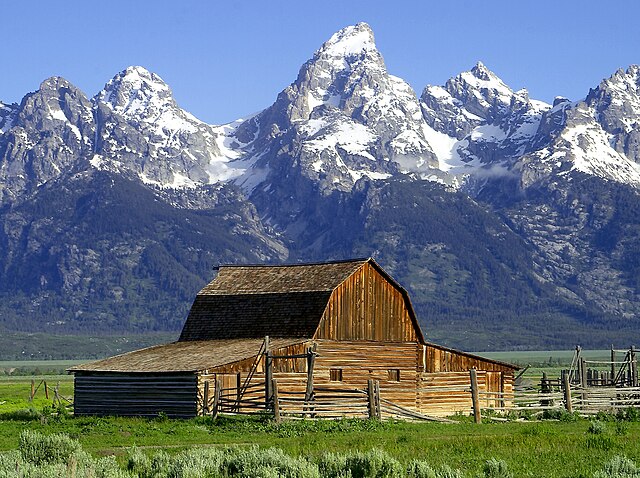
The John Moulton Barn and the Teton Range
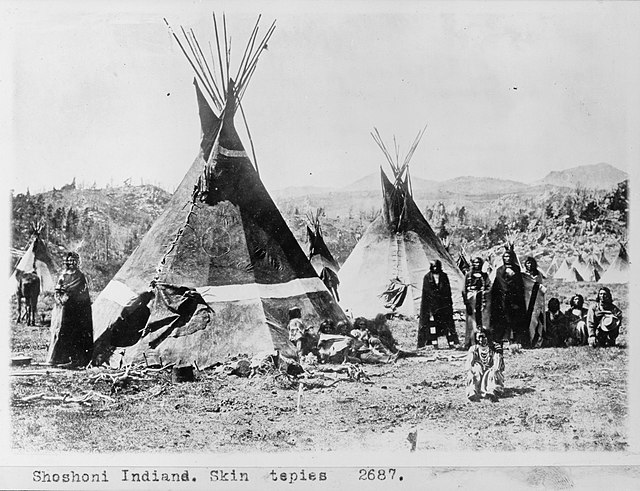
A Shoshone encampment in Wyoming in 1870, photographed by W. H. Jackson
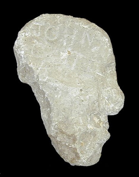
The enigmatic Colter Stone, with the inscription "John Colter", was found in a field in eastern Idaho in 1931.
"The Three Tetons" as seen from west of the Teton Range by members of the Hayden Geological Survey of 1872. One of the earliest photographs of the Teton Range taken by William Henry Jackson in 1872.